| Prel. Rep. | Date | Time(UTC) | Time(Local) | Lat. | Lon. | Depth | Mag. | Region | Waveform |
|
|
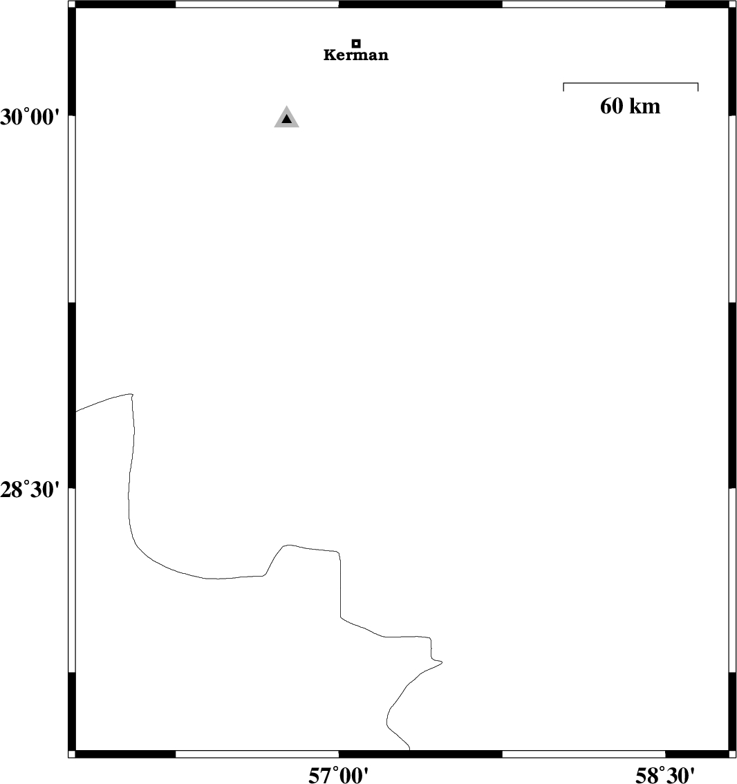
2010/10/25
|
05:09:30.8
|
08:39:30.8
| 28.93 | 57.29 | 18 |
ML:2.9
|
Kerman Province, 52 km North-West of Jiroft | |
|
|
2010/10/23
|
11:17:26.9
|
14:47:26.9
| 27.66 | 56.12 | 14 |
ML:2.9
|
Hormozgan Province, 55 km North-West of Bandar-e abbas | |
|
|
2010/10/17
|
16:06:56.6
|
19:36:56.6
| 27.97 | 56.84 | 17 |
ML:3.3
|
Hormozgan Province, 84 km West of Kahnuj | |
|
|
2010/10/03
|
19:12:20.4
|
22:42:20.4
| 27.72 | 56.4 | 14 |
ML:3.3
|
Hormozgan Province, 61 km North-East of Bandar-e abbas | |
|
|
2010/09/26
|
07:28:38.6
|
10:58:38.6
| 28.28 | 57.55 | 15 |
ML:3.9
|
Kerman Province, 40 km North-West of Kahnuj | |
|
|
2010/09/25
|
19:12:56.8
|
22:42:56.8
| 29.05 | 56.69 | 15 |
ML:2.8
|
Kerman Province, 22 km South of Baft | |