
| Prel. Rep. | Date | Time(UTC) | Time(Local) | Lat. | Lon. | Depth | Mag. | Region | Waveform |
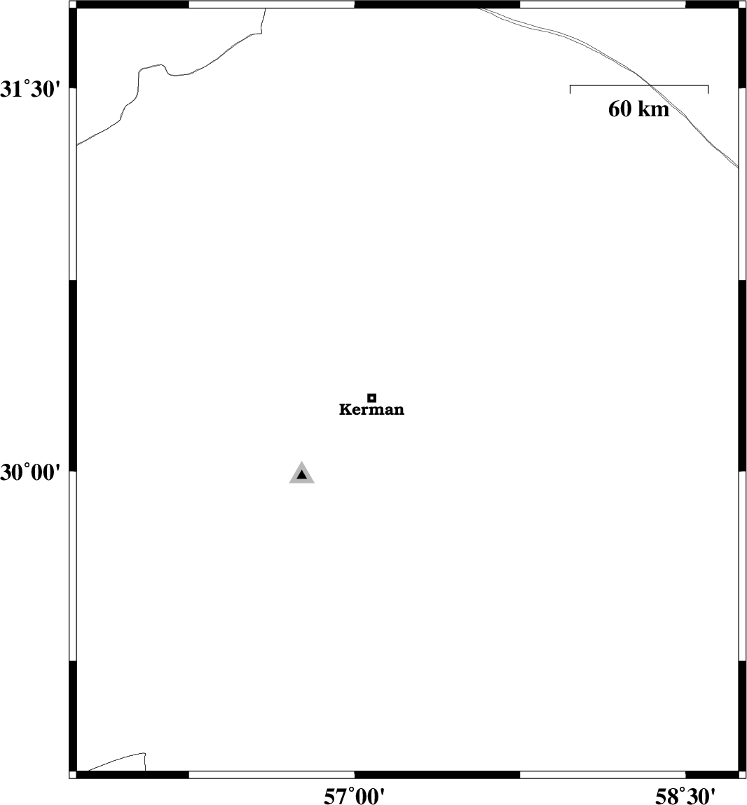
| 2010/10/31 | 16:16:59.7 | 19:46:59.7 | 30.31 | 57.24 | 30 | ML:3 | Kerman Province, 16 km East of Kerman | ||
| 2010/10/25 | 05:09:30.8 | 08:39:30.8 | 28.93 | 57.29 | 18 | ML:2.9 | Kerman Province, 52 km North-West of Jiroft | ||
| 2010/10/20 | 08:44:48.0 | 12:14:48.0 | 30.89 | 56.56 | 16 | ML:3.3 | Kerman Province, 9 km Zarand | ||
| 2010/10/19 | 22:25:51.8 | 01:55:51.8 | 30.91 | 56.57 | 16 | ML:3.3 | Kerman Province, 11 km Zarand |