
| Prel. Rep. | Date | Time(UTC) | Time(Local) | Lat. | Lon. | Depth | Mag. | Region | Waveform |
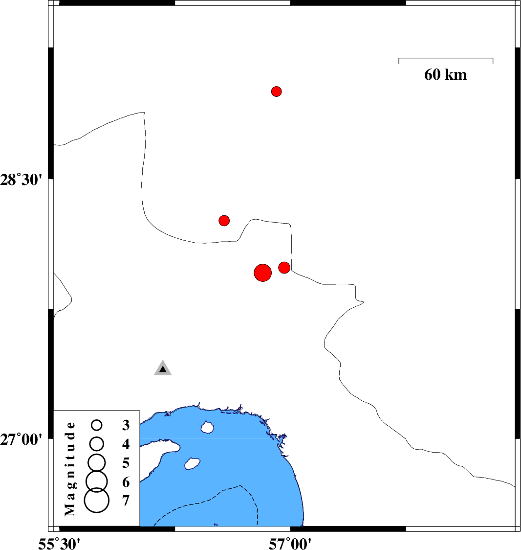
| 2010/11/10 | 14:59:06.9 | 18:29:06.9 | 27.99 | 56.96 | 14 | ML:3.4 | Hormozgan Province, 72 km West of Kahnuj | ||
| 2010/11/10 | 13:49:13.4 | 17:19:13.4 | 27.96 | 56.82 | 35 | Mb:5.1 | Hormozgan Province, 86 km West of Kahnuj | ||
| 2010/11/08 | 11:14:57.4 | 14:44:57.4 | 28.26 | 56.57 | 14 | ML:3.1 | Kerman Province, 65 km East of Hajiabad | ||
| 2010/11/04 | 18:19:15.6 | 21:49:15.6 | 29 | 56.91 | 14 | ML:2.9 | Kerman Province, 40 km South-East of Baft |