
| Prel. Rep. | Date | Time(UTC) | Time(Local) | Lat. | Lon. | Depth | Mag. | Region | Waveform |
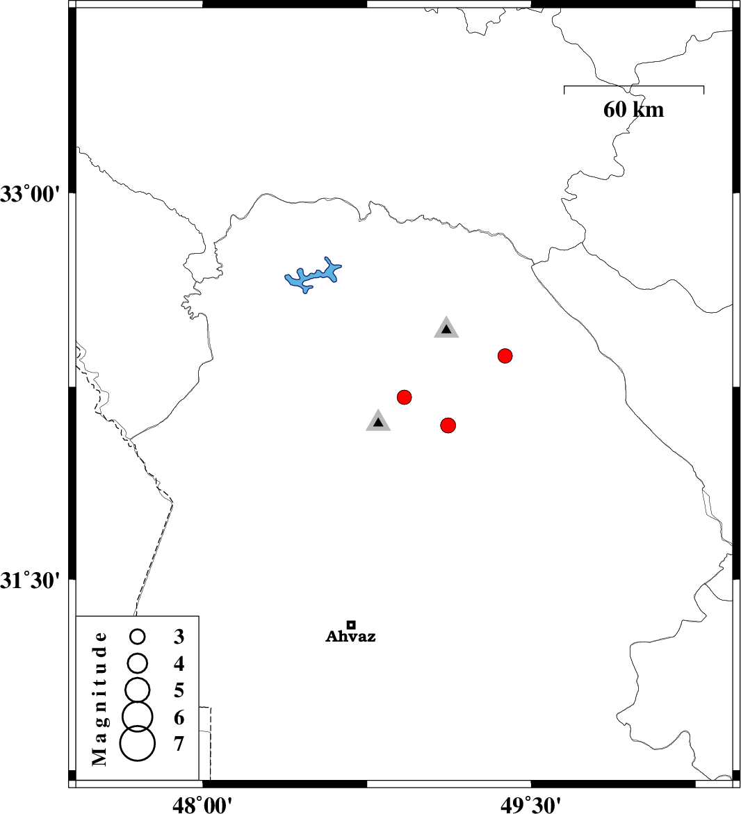
| 2011/02/24 | 06:48:18.3 | 10:18:18.3 | 32.1 | 49.12 | 14 | ML:3.1 | Khoozestan Province, 33 km South of Lali | ||
| 2011/02/24 | 06:16:51.2 | 09:46:51.2 | 32.21 | 48.92 | 26 | ML:3 | Khoozestan Province, 19 km North of Shushtar | ||
| 2011/02/23 | 15:25:31.4 | 18:55:31.4 | 32.37 | 49.38 | 15 | ML:2.9 | Khoozestan Province, 25 km East of Lali | ||
| 2011/02/13 | 09:30:58.1 | 13:00:58.1 | 31.11 | 47.6 | 24 | ML:3.4 | Iraq, 69 km North-West of Al Basrah | ||
| 2011/02/07 | 02:38:27.4 | 06:08:27.4 | 31.07 | 47.56 | 23 | ML:4.2 | Iraq, 65 km North-West of Al Basrah |