
| Prel. Rep. | Date | Time(UTC) | Time(Local) | Lat. | Lon. | Depth | Mag. | Region | Waveform |
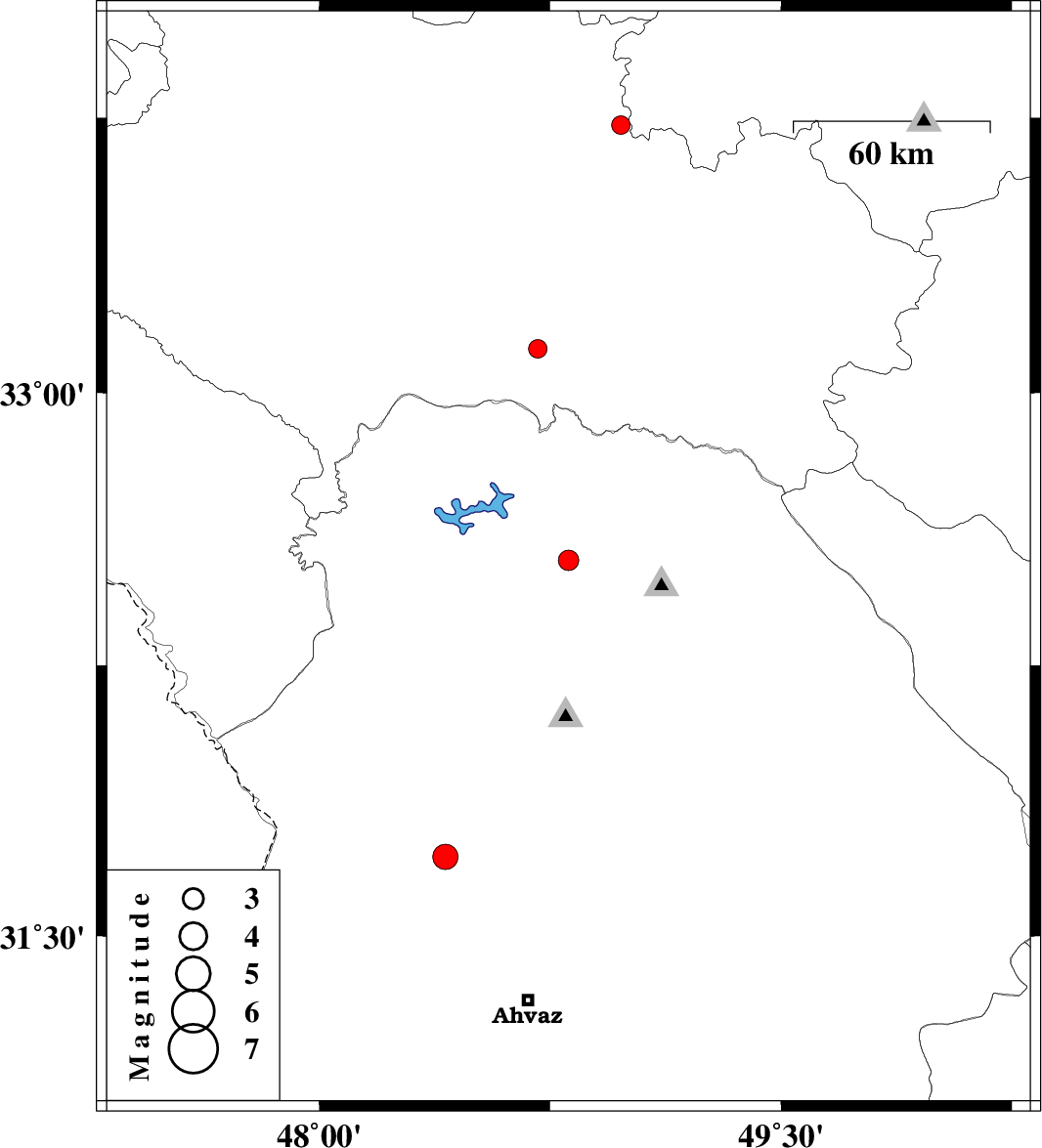
| 2011/05/29 | 04:25:52.5 | 08:55:52.5 | 32.54 | 48.81 | 15 | ML:3 | Khoozestan Province, 33 km North-West of Lali | ||
| 2011/05/27 | 17:59:59.0 | 22:29:59.0 | 33.73 | 48.98 | 44 | ML:2.7 | Lorestan Province, 29 km North of Dorud | ||
| 2011/05/26 | 01:02:55.2 | 05:32:55.2 | 33.12 | 48.71 | 14 | ML:2.7 | Lorestan Province, 51 km South-East of Khorramabad | ||
| 2011/05/24 | 00:01:37.3 | 04:31:37.3 | 31.72 | 48.41 | 14 | ML:3.7 | Khoozestan Province, 28 km North-East of Susangerd |