| Prel. Rep. | Date | Time(UTC) | Time(Local) | Lat. | Lon. | Depth | Mag. | Region | Waveform |
|
|
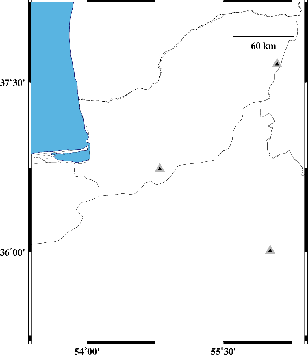
2011/06/16
|
07:03:19.4
|
11:33:19.4
| 36.7 | 54.89 | 15 |
ML:3
|
Golestan Province, 23 km South of Ali Abad | |
|
|
2011/06/15
|
10:10:58.8
|
14:40:58.8
| 37.03 | 55.59 | 14 |
ML:2.6
|
Golestan Province, 28 km South-East of Minodasht | |
|
|
2011/05/29
|
06:15:20.0
|
10:45:20.0
| 37.32 | 54.17 | 15 |
ML:3.4
|
Golestan Province, 47 km North of Bandar-e torkaman | |
|
|
2011/05/27
|
20:15:24.3
|
00:45:24.3
| 37.79 | 55.85 | 20 |
ML:2.5
|
Golestan Province, 55 km North-East of Kalaleh | |
|
|
2011/05/27
|
04:17:09.8
|
08:47:09.8
| 35.93 | 53.65 | 42 |
ML:3.3
|
Semnan Province, 47 km North-East of Semnan | |