| Prel. Rep. | Date | Time(UTC) | Time(Local) | Lat. | Lon. | Depth | Mag. | Region | Waveform |
|
|
2011/07/26
|
11:30:06.2
|
16:00:06.2
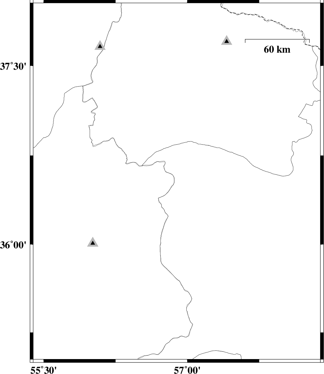
| 37.1 | 55.61 | 14 |
ML:3.1
|
Golestan Province, 24 km South-East of Minodasht | |
|
|
2011/07/26
|
04:04:10.7
|
08:34:10.7
| 36.52 | 56.89 | 6 |
ML:4.7
|
Khorasan(center) Province, 66 km South-East of Jajarm | download |
|
|
2011/07/24
|
12:54:00.7
|
17:24:00.7
| 36.47 | 56.93 | 14 |
ML:3.2
|
Khorasan(center) Province, 73 km North-West of Sabzevar | |
|
|
2011/07/23
|
04:09:40.0
|
08:39:40.0
| 36.85 | 55.4 | 6 |
ML:3.6
|
Golestan Province, 43 km South of Minodasht | |
|
|
2011/07/09
|
11:01:34.2
|
15:31:34.2
| 37.55 | 57.48 | 46 |
ML:2.7
|
Khorasan(north) Province, 15 km East of Bojnurd | |
|
|
2011/07/03
|
22:32:32.2
|
03:02:32.2
| 37.29 | 57.42 | 18 |
ML:2.9
|
Khorasan(north) Province, 22 km South of Bojnurd | |
|
|
2011/07/03
|
17:59:12.0
|
22:29:12.0
| 35.19 | 56.98 | 26 |
ML:4
|
Khorasan(center) Province, 89 km West of Bardeskan | |
|
|
2011/06/28
|
02:07:51.4
|
06:37:51.4
| 36.96 | 57.27 | 14 |
ML:3.5
|
Khorasan(north) Province, 23 km West of Esfarayen | |