| Prel. Rep. | Date | Time(UTC) | Time(Local) | Lat. | Lon. | Depth | Mag. | Region | Waveform |
|
|
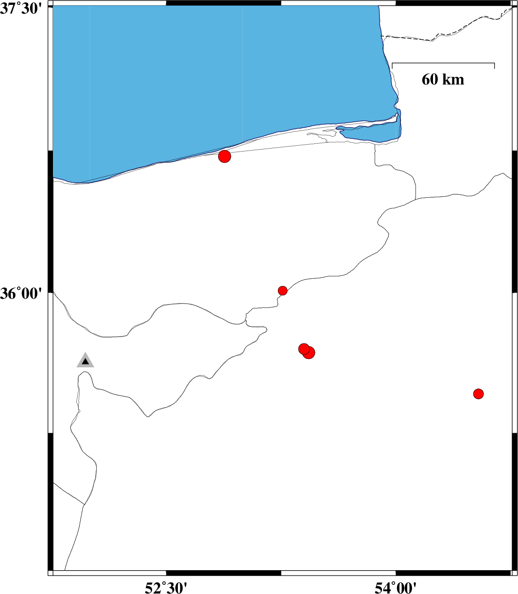
2011/07/28
|
08:29:49.9
|
12:59:49.9
| 36.01 | 53.26 | 14 |
ML:2.7
|
Mazandaran Province, 22 km South-East of Pol-E-Sefid | |
|
|
2011/07/27
|
03:18:44.7
|
07:48:44.7
| 35.46 | 54.54 | 14 |
ML:3
|
Semnan Province, 80 km South-East of Damghan | |
|
|
2011/07/05
|
13:28:04.6
|
17:58:04.6
| 36.72 | 52.88 | 18 |
ML:3.6
|
Mazandaran Province, 9 km Joybar | |
|
|
2011/07/03
|
19:01:23.7
|
23:31:23.7
| 35.7 | 53.4 | 6 |
ML:3.3
|
Semnan Province, 15 km North of Semnan | |
|
|
2011/07/03
|
17:19:29.6
|
21:49:29.6
| 35.68 | 53.43 | 16 |
ML:3.7
|
Semnan Province, 13 km North of Semnan | |