
| Prel. Rep. | Date | Time(UTC) | Time(Local) | Lat. | Lon. | Depth | Mag. | Region | Waveform |
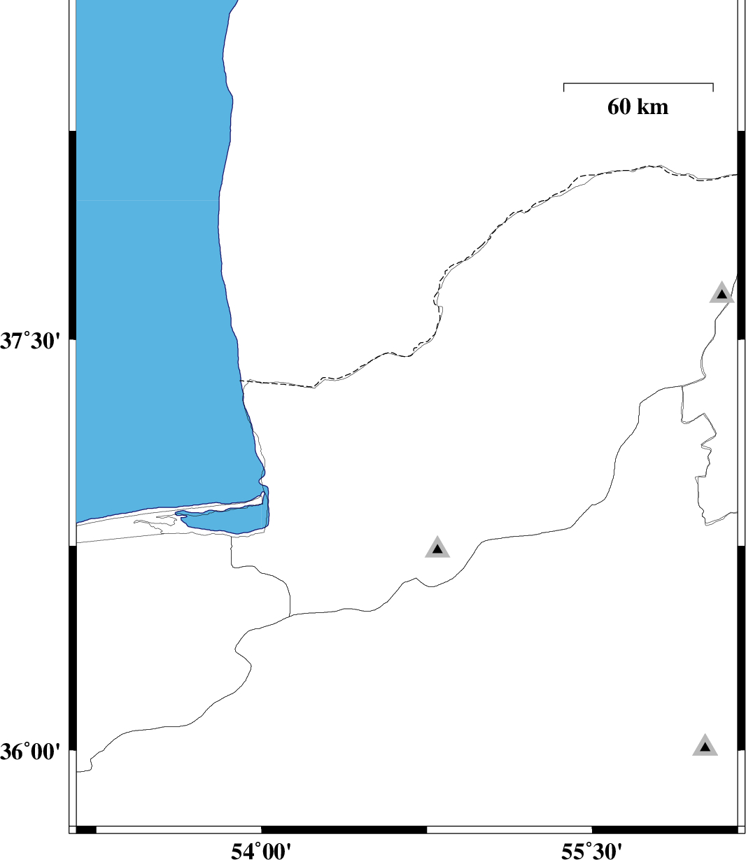
| 2011/08/01 | 04:58:05.4 | 09:28:05.4 | 37.22 | 54.66 | 16 | ML:3 | Golestan Province, 29 km North-East of Aq Qaleh | ||
| 2011/07/30 | 06:58:27.3 | 11:28:27.3 | 36.83 | 55.26 | 14 | ML:3 | Golestan Province, 23 km South-East of Ramian | ||
| 2011/07/28 | 08:29:49.9 | 12:59:49.9 | 36.01 | 53.26 | 14 | ML:2.7 | Mazandaran Province, 22 km South-East of Pol-E-Sefid | ||
| 2011/07/26 | 11:30:06.2 | 16:00:06.2 | 37.1 | 55.61 | 14 | ML:3.1 | Golestan Province, 24 km South-East of Minodasht |