| Prel. Rep. | Date | Time(UTC) | Time(Local) | Lat. | Lon. | Depth | Mag. | Region | Waveform |
|
|
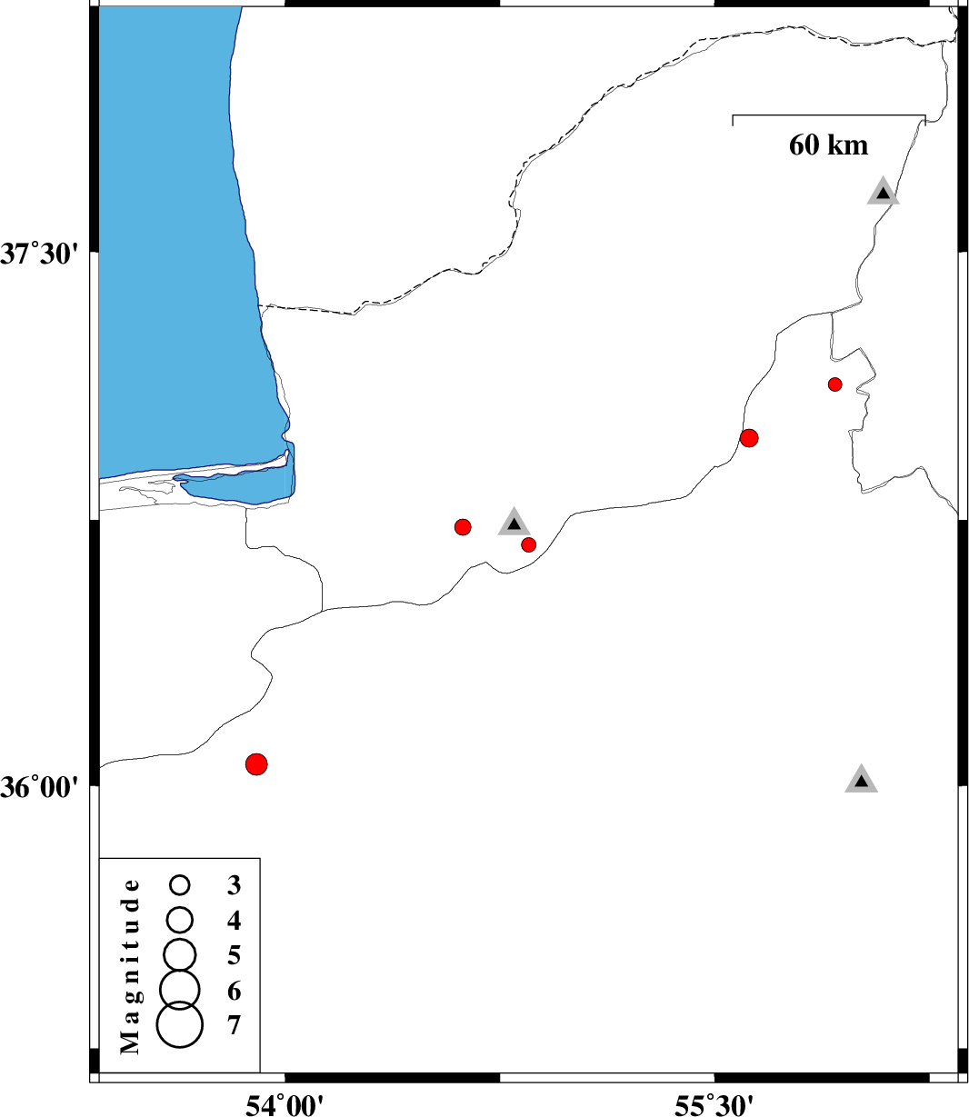
2012/05/27
|
18:31:14.6
|
23:01:14.6
| 36.68 | 54.85 | 14 |
ML:2.2
|
Golestan Province, 25 km South of Ali Abad | |
|
|
2012/05/26
|
09:36:54.6
|
14:06:54.6
| 37.13 | 55.92 | 40 |
ML:2.1
|
Semnan Province, 48 km South-East of Minodasht | |
|
|
2012/05/24
|
20:39:04.8
|
01:09:04.8
| 36.98 | 55.62 | 14 |
ML:2.8
|
Semnan Province, 35 km South-East of Minodasht | |
|
|
2012/05/24
|
18:48:00.2
|
23:18:00.2
| 36.06 | 53.9 | 15 |
ML:3.4
|
Semnan Province, 42 km South-West of Damghan | |
|
|
2012/05/22
|
15:55:55.6
|
20:25:55.6
| 36.73 | 54.62 | 31 |
ML:2.5
|
Golestan Province, 20 km South-East of Gorgan | |