Home / Recent Earthquakes

| Prel. Rep. | Date | Time(UTC) | Time(Local) | Lat. | Lon. | Depth | Mag. | Region | Waveform |
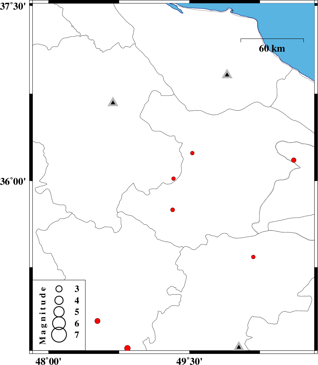
| 2012/09/11 | 09:00:54.8 | 13:30:54.8 | 36.02 | 49.33 | 14 | ML:1.9 | Zanjan Province, 17 km South-East of Abhar | ||
| 2012/08/30 | 20:10:36.7 | 00:40:36.7 | 35.75 | 49.32 | 14 | ML:2 | Ghazvin Province, 44 km South of Abhar | ||
| 2012/08/30 | 13:37:52.4 | 18:07:52.4 | 34.54 | 48.84 | 32 | ML:2.8 | Hamedan Province, 27 km North of Malayer | ||
| 2012/08/27 | 02:28:09.1 | 06:58:09.1 | 36.24 | 49.53 | 16 | ML:1.9 | Ghazvin Province, 25 km North-West of Takestan | ||
| 2012/08/20 | 12:53:32.5 | 17:23:32.5 | 35.34 | 50.18 | 30 | ML:1.9 | Markazi Province, 38 km North-West of Saveh | ||
| 2012/08/19 | 11:28:04.3 | 15:58:04.3 | 36.18 | 50.61 | 14 | ML:2.2 | Tehran Province, 17 km North of Abyek | ||
| 2012/08/12 | 12:50:41.9 | 17:20:41.9 | 34.78 | 48.52 | 18 | ML:2.5 | Hamedan Province, 2 km Hamedan |