| Prel. Rep. | Date | Time(UTC) | Time(Local) | Lat. | Lon. | Depth | Mag. | Region | Waveform |
|
|
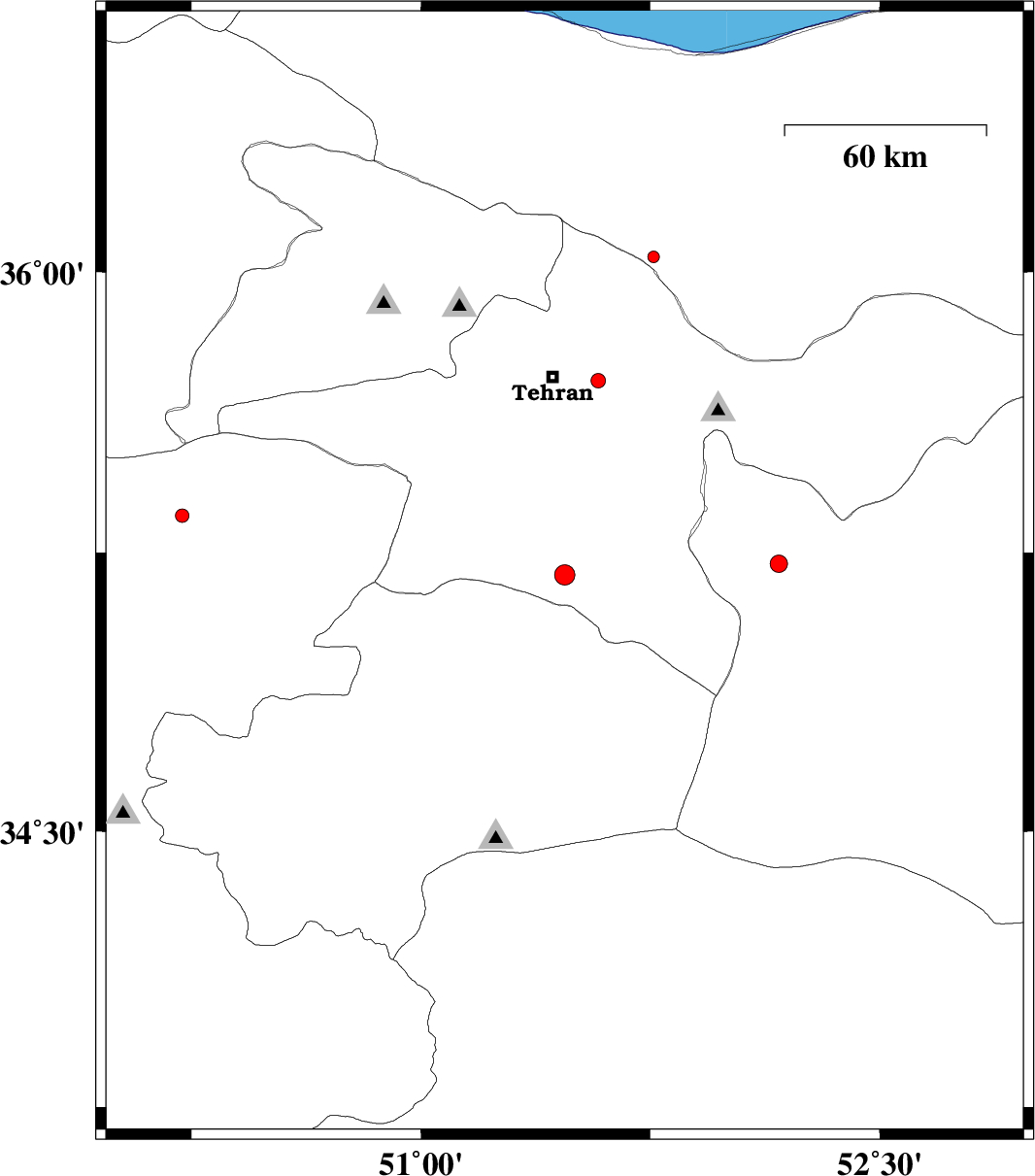
2012/10/24
|
15:32:02.3
|
19:02:02.3
| 35.19 | 51.47 | 14 |
ML:2.9
|
Tehran Province, 23 km South-West of Varamin | |
|
|
2012/10/23
|
09:25:22.7
|
12:55:22.7
| 35.71 | 51.58 | 26 |
ML:2.1
|
Tehran Province, 17 km East of Tehran | |
|
|
2012/10/22
|
19:45:45.8
|
23:15:45.8
| 36.04 | 51.76 | 15 |
ML:1.7
|
Mazandaran Province, 39 km North-East of Tajrish | |
|
|
2012/10/22
|
14:05:27.8
|
17:35:27.8
| 35.35 | 50.22 | 17 |
ML:2
|
Markazi Province, 39 km North-West of Saveh | |
|
|
2012/10/20
|
10:25:05.1
|
13:55:05.1
| 35.22 | 52.17 | 14 |
ML:2.5
|
Semnan Province, 15 km West of Garmsar | |