| Prel. Rep. | Date | Time(UTC) | Time(Local) | Lat. | Lon. | Depth | Mag. | Region | Waveform |
|
|
2013/02/11
|
06:43:09.8
|
10:13:09.8
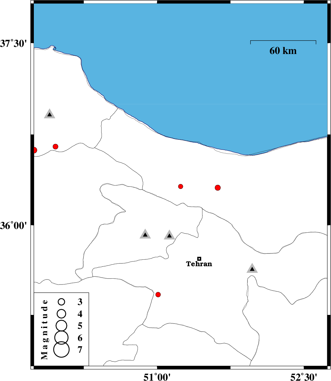
| 36.32 | 51.24 | 10 |
ML:2.1
|
Mazandaran Province, 40 km South-West of Chalus | |
|
|
2013/02/08
|
22:50:20.2
|
02:20:20.2
| 34.86 | 49.77 | 18 |
ML:1.8
|
Markazi Province, 29 km North-West of Tafresh | |
|
|
2013/01/25
|
11:31:30.1
|
15:01:30.1
| 36.31 | 51.62 | 14 |
ML:2.5
|
Mazandaran Province, 39 km South-East of Nowshahr | |
|
|
2013/01/24
|
01:30:35.8
|
05:00:35.8
| 36.62 | 49.74 | 37 |
ML:2.8
|
Gilan Province, 36 km South-East of Rudbar | |
|
|
2013/01/16
|
17:52:07.9
|
21:22:07.9
| 36.65 | 49.96 | 14 |
ML:2.4
|
Gilan Province, 42 km North of Qazvin | |
|
|
2013/01/15
|
07:51:35.5
|
11:21:35.5
| 35.42 | 51.01 | 23 |
ML:2.3
|
Tehran Province, 9 km Robatkarim | |