Home / Recent Earthquakes

| Prel. Rep. | Date | Time(UTC) | Time(Local) | Lat. | Lon. | Depth | Mag. | Region | Waveform |
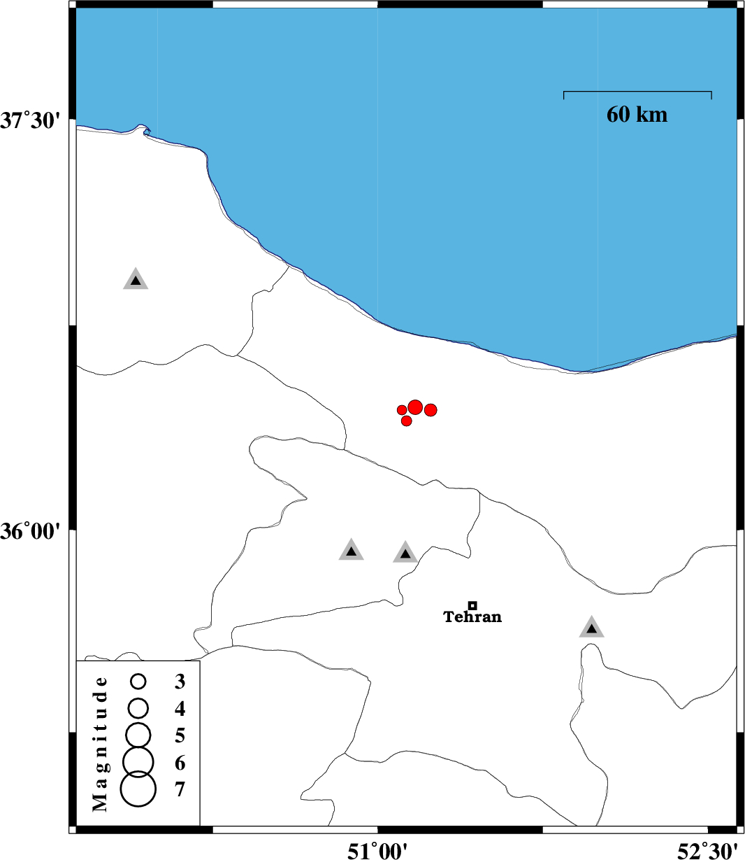
| 2013/09/20 | 21:26:32.8 | 01:56:32.8 | 36.4 | 51.13 | 14 | ML:2.1 | Mazandaran Province, 39 km South-West of Chalus | ||
| 2013/09/20 | 12:42:35.0 | 17:12:35.0 | 36.45 | 51.17 | 14 | ML:2.9 | Mazandaran Province, 32 km South-West of Chalus | ||
| 2013/09/20 | 06:33:26.2 | 11:03:26.2 | 36.44 | 51.24 | 14 | ML:2.5 | Mazandaran Province, 29 km South-West of Chalus | ||
| 2013/09/19 | 17:39:39.0 | 22:09:39.0 | 36.44 | 51.11 | 8 | ML:2 | Mazandaran Province, 36 km South-West of Chalus |