
| Prel. Rep. | Date | Time(UTC) | Time(Local) | Lat. | Lon. | Depth | Mag. | Region | Waveform |
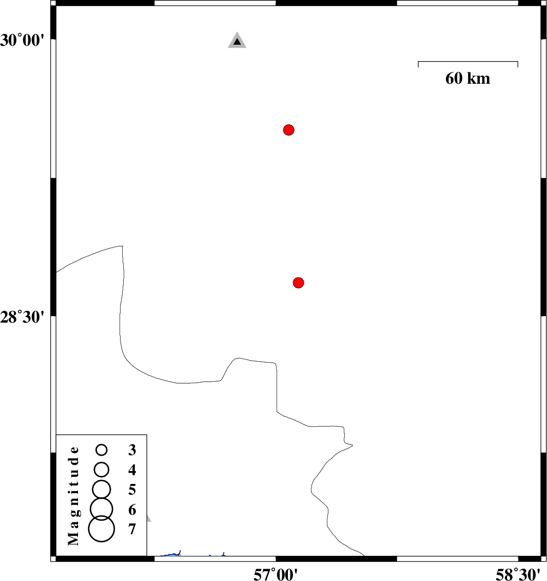
| 2013/10/03 | 22:12:34.4 | 01:42:34.4 | 28.68 | 57.14 | 39 | ML:2.9 | Kerman Province, 59 km West of Jiroft | ||
| 2013/10/01 | 17:16:42.8 | 20:46:42.8 | 29.51 | 57.08 | 14 | ML:3 | Kerman Province, 55 km North-East of Baft |

 IIEES All Rights Reserved