| Prel. Rep. | Date | Time(UTC) | Time(Local) | Lat. | Lon. | Depth | Mag. | Region | Waveform |
|
|
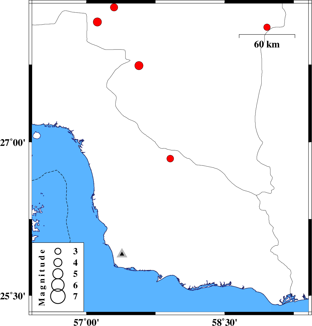
2013/10/16
|
03:44:15.2
|
07:14:15.2
| 26.84 | 57.91 | 14 |
ML:3.4
|
Hormozgan Province, 75 km South-East of Manujan | |
|
|
2013/10/15
|
12:52:18.8
|
16:22:18.8
| 28.3 | 57.3 | 14 |
ML:3.6
|
Kerman Province, 55 km North-West of Kahnuj | |
|
|
2013/09/25
|
16:18:37.2
|
19:48:37.2
| 27.74 | 57.57 | 14 |
ML:4.1
|
Kerman Province, 27 km South-West of Kahnuj | |
|
|
2013/09/22
|
23:13:36.4
|
02:43:36.4
| 28.11 | 58.96 | 18 |
ML:3.3
|
Kerman Province, 125 km North-East of Kahnuj | |
|
|
2013/09/21
|
06:27:33.9
|
10:57:33.9
| 28.16 | 57.12 | 14 |
ML:4.1
|
Kerman Province, 61 km North-West of Kahnuj | |