Home / Recent Earthquakes

| Prel. Rep. | Date | Time(UTC) | Time(Local) | Lat. | Lon. | Depth | Mag. | Region | Waveform |
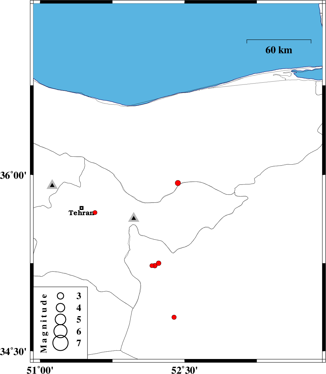
| 2013/11/03 | 09:36:52.3 | 13:06:52.3 | 35.93 | 52.43 | 14 | ML:2.5 | Mazandaran Province, 36 km North-West of Firuzkuh | ||
| 2013/10/31 | 08:48:15.0 | 12:18:15.0 | 35.68 | 51.57 | 24 | ML:2 | Tehran Province, 15 km East of Tehran | ||
| 2013/10/29 | 04:55:51.7 | 08:25:51.7 | 35.25 | 52.23 | 18 | ML:2.3 | Semnan Province, 10 km West of Garmsar | ||
| 2013/10/28 | 00:25:55.8 | 03:55:55.8 | 35.23 | 52.16 | 14 | ML:2 | Semnan Province, 17 km West of Garmsar | ||
| 2013/10/27 | 19:57:43.6 | 23:27:43.6 | 35.23 | 52.19 | 18 | ML:2.3 | Semnan Province, 14 km West of Garmsar | ||
| 2013/10/27 | 19:21:54.6 | 22:51:54.6 | 34.79 | 52.39 | 18 | ML:2.1 | Semnan Province, 48 km South of Garmsar |