Home / Recent Earthquakes

| Prel. Rep. | Date | Time(UTC) | Time(Local) | Lat. | Lon. | Depth | Mag. | Region | Waveform |
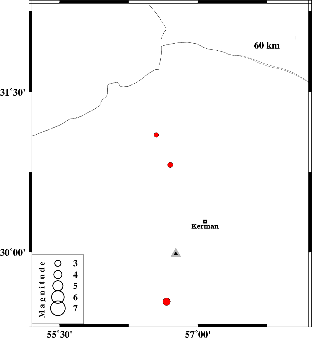
| 2014/01/12 | 21:47:18.6 | 01:17:18.6 | 30.82 | 56.7 | 14 | ML:2.5 | Kerman Province, 12 km East of Zarand | ||
| 2014/01/11 | 19:05:30.2 | 22:35:30.2 | 29.53 | 56.66 | 14 | ML:3.6 | Kerman Province, 33 km North of Baft | ||
| 2014/01/10 | 10:29:37.7 | 13:59:37.7 | 31.1 | 56.55 | 15 | ML:2.3 | Kerman Province, 32 km North of Zarand |