Home / Recent Earthquakes

| Prel. Rep. | Date | Time(UTC) | Time(Local) | Lat. | Lon. | Depth | Mag. | Region | Waveform |
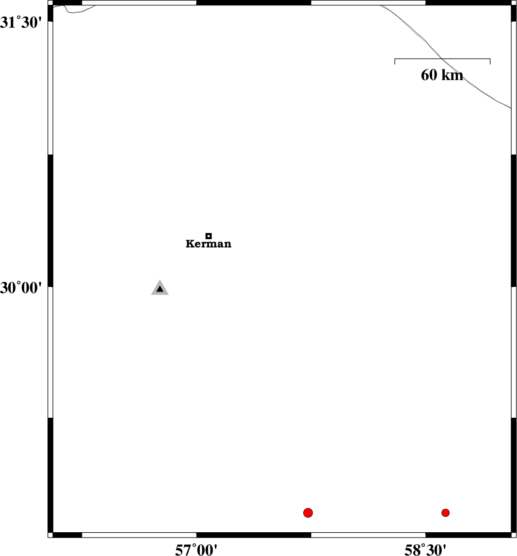
| 2014/01/31 | 23:57:53.7 | 03:27:53.7 | 30.09 | 57.56 | 14 | ML:2.5 | Kerman Province, 51 km South-East of Kerman | ||
| 2014/01/30 | 13:23:54.4 | 16:53:54.4 | 30.99 | 56.42 | 14 | ML:2.3 | Kerman Province, 25 km North-West of Zarand | ||
| 2014/01/24 | 17:11:36.5 | 20:41:36.5 | 29.46 | 58.26 | 37 | ML:2.5 | Kerman Province, 40 km North of Bam | ||
| 2014/01/17 | 22:16:04.6 | 01:46:04.6 | 31.36 | 57.35 | 28 | ML:2.2 | Kerman Province, 52 km East of Ravar | ||
| 2014/01/14 | 08:10:36.5 | 11:40:36.5 | 31.36 | 56.45 | 14 | ML:2.7 | Kerman Province, 36 km West of Ravar | ||
| 2014/01/12 | 21:47:18.6 | 01:17:18.6 | 30.82 | 56.7 | 14 | ML:2.5 | Kerman Province, 12 km East of Zarand | ||
| 2014/01/11 | 19:05:30.2 | 22:35:30.2 | 29.53 | 56.66 | 14 | ML:3.6 | Kerman Province, 33 km North of Baft | ||
| 2014/01/10 | 10:29:37.7 | 13:59:37.7 | 31.1 | 56.55 | 15 | ML:2.3 | Kerman Province, 32 km North of Zarand | ||
| 2014/01/03 | 19:03:42.1 | 22:33:42.1 | 28.91 | 57.51 | 14 | ML:3.2 | Kerman Province, 35 km North-West of Jiroft |