| Prel. Rep. | Date | Time(UTC) | Time(Local) | Lat. | Lon. | Depth | Mag. | Region | Waveform |
|
|
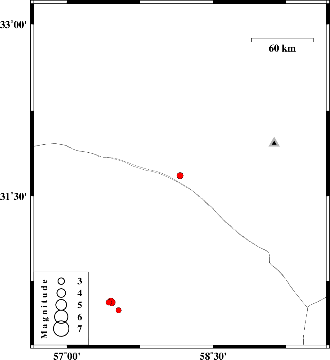
2014/04/29
|
21:50:04.8
|
02:20:04.8
| 31.68 | 58.16 | 14 |
ML:2.9
|
Khorasan(south) Province, 135 km North-East of Ravar | |
|
|
2014/04/27
|
15:35:25.3
|
20:05:25.3
| 30.56 | 57.43 | 14 |
ML:2.7
|
Kerman Province, 45 km North-East of Kerman | |
|
|
2014/04/24
|
05:16:31.7
|
09:46:31.7
| 30.56 | 57.46 | 14 |
ML:3.2
|
Kerman Province, 47 km North-East of Kerman | |
|
|
2014/04/24
|
01:45:07.6
|
06:15:07.6
| 30.49 | 57.53 | 16 |
ML:2.6
|
Kerman Province, 49 km North-East of Kerman | |
|
|
2014/04/24
|
01:29:09.6
|
05:59:09.6
| 30.57 | 57.45 | 15 |
ML:3.1
|
Kerman Province, 48 km North-East of Kerman | |
|
|
2014/04/23
|
11:15:41.9
|
15:45:41.9
| 30.57 | 57.45 | 14 |
ML:2.8
|
Kerman Province, 47 km North-East of Kerman | |