
| Prel. Rep. | Date | Time(UTC) | Time(Local) | Lat. | Lon. | Depth | Mag. | Region | Waveform |
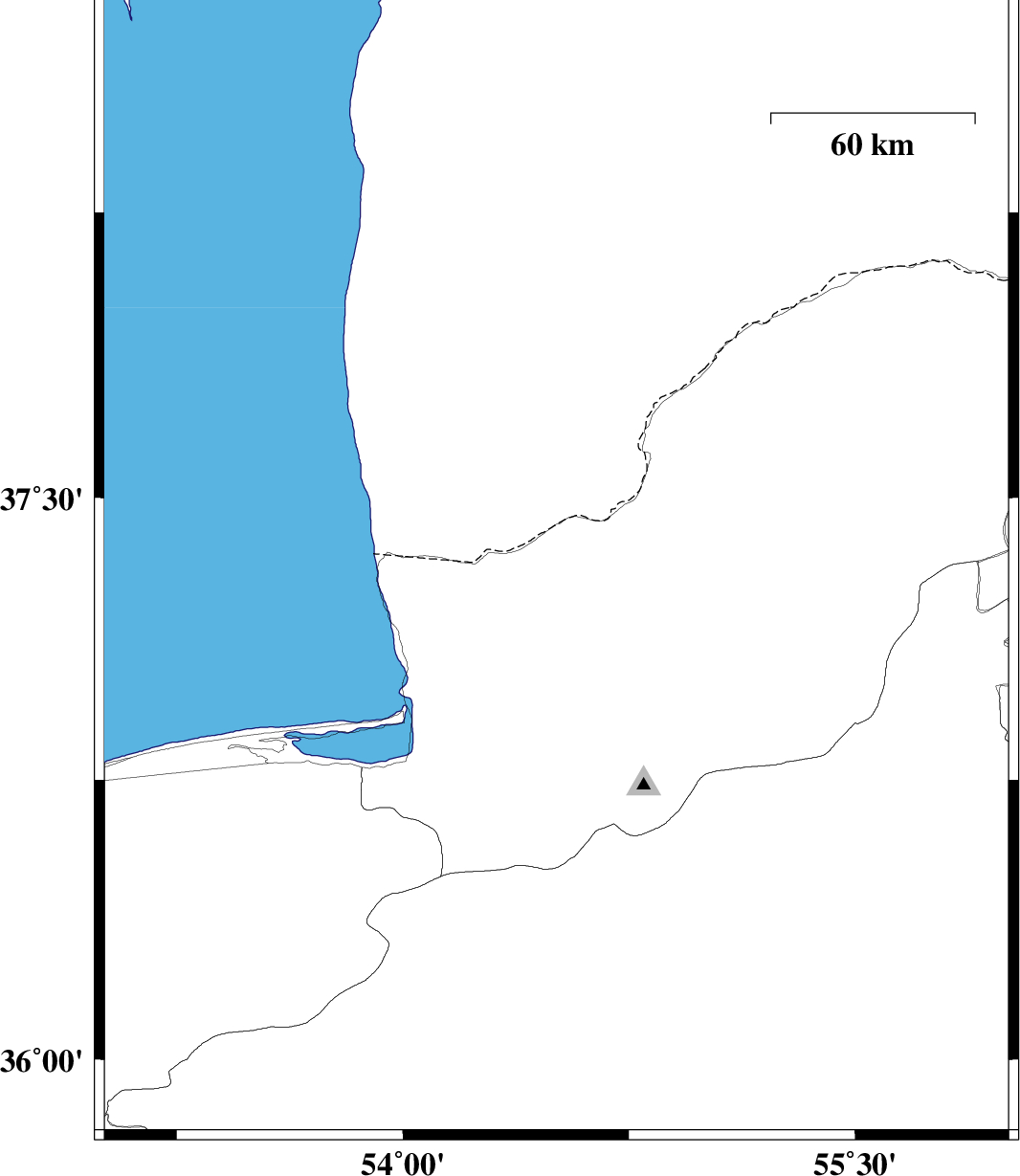
| 2015/01/31 | 18:06:00.2 | 21:36:00.2 | 37.31 | 54.51 | 18 | ML:3.9 | Golestan Province, 33 km North of Aq Qaleh | ||
| 2015/01/21 | 21:20:50.8 | 00:50:50.8 | 36.74 | 54.87 | 14 | ML:3.3 | Golestan Province, 18 km South of Ali Abad | ||
| 2015/01/21 | 18:49:11.6 | 22:19:11.6 | 35.94 | 53.65 | 14 | ML:2.8 | Semnan Province, 47 km North-East of Semnan | ||
| 2015/01/21 | 05:54:03.5 | 09:24:03.5 | 36.02 | 53.27 | 6 | ML:2.9 | Mazandaran Province, 22 km East of Pol-E-Sefid | ||
| 2015/01/05 | 12:43:33.8 | 16:13:33.8 | 37.18 | 54.52 | 15 | ML:4.2 | Golestan Province, 19 km North of Aq Qaleh | ||
| 2015/01/04 | 17:01:19.8 | 20:31:19.8 | 36.1 | 53.54 | 14 | ML:3.1 | Mazandaran Province, 43 km East of Pol-E-Sefid |

 IIEES All Rights Reserved