Home / Recent Earthquakes

| Prel. Rep. | Date | Time(UTC) | Time(Local) | Lat. | Lon. | Depth | Mag. | Region | Waveform |
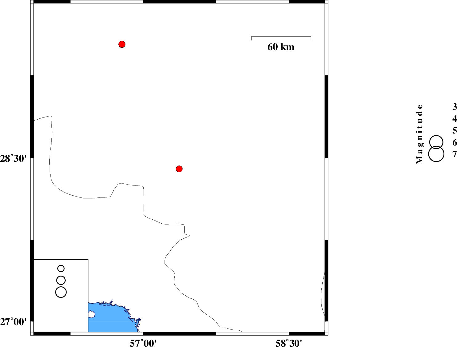
| 2015/02/28 | 01:18:55.3 | 04:48:55.3 | 28.4 | 57.37 | 14 | ML:2.9 | Kerman Province, 47 km South-West of Jiroft | ||
| 2015/02/25 | 14:43:26.5 | 18:13:26.5 | 29.53 | 56.78 | 26 | ML:3.1 | Kerman Province, 37 km North-East of Baft |