Home / Recent Earthquakes

| Prel. Rep. | Date | Time(UTC) | Time(Local) | Lat. | Lon. | Depth | Mag. | Region | Waveform |
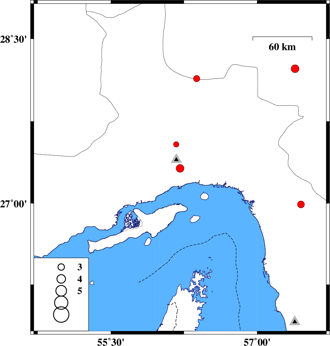
| 2015/03/24 | 08:14:40.7 | 12:44:40.7 | 27.32 | 56.21 | 15 | ML:3.6 | Hormozgan Province, 17 km North of Bandar-e abbas | ||
| 2015/03/23 | 02:20:34.6 | 06:50:34.6 | 28.23 | 57.39 | 14 | ML:3.7 | Kerman Province, 44 km North-West of Kahnuj | ||
| 2015/03/19 | 20:33:08.6 | 00:03:08.6 | 28.14 | 56.38 | 18 | ML:2.9 | Kerman Province, 51 km South-East of Hajiabad | ||
| 2015/03/19 | 16:26:08.2 | 19:56:08.2 | 27.54 | 56.17 | 15 | ML:2.6 | Hormozgan Province, 41 km North-West of Bandar-e abbas | ||
| 2015/03/18 | 08:35:19.3 | 12:05:19.3 | 26.99 | 57.45 | 18 | ML:3.2 | Hormozgan Province, 47 km South of Manujan |