
Magnitude |
2.5 |
| Date & Time (UTC) | 2018-12-31 09:05:45.8 |
| Date & Time (Local) | 1397/10/10 12:35:45.8 |
| Location | Lat:35.622 Lon: 49.714 |
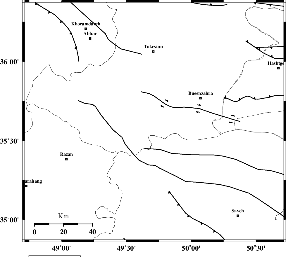
| Region | Ghazvin Province, 49 km South of Takestan |
Nearest Cities |
|
| 18 km South of Danesfahan, Ghazvin Province | |
| 22 km North East of Kolanjin, Ghazvin Province | |
| 26 km South West of Sagezabad, Ghazvin Province | |
| 26 km North West of Duzaj, Markazi Province | |
| 31 km South of Shal, Ghazvin Province | |
| Depth | 14 km |
| Agency | |
Faults within 150 km: |
|
| IPAK_F (Length: 80 km) , Distance to epicenter: 15 km | |
| S_PARANDAK_F (Length: 116 km) , Distance to epicenter: 20 km | |
| KUSHK_E_NOSRAT_F (Length: 230 km) , Distance to epicenter: 25 km | |
| Number of Phases | 8 |
| RMS | 0.2 |
| Number of Stations | 7 |
| Error in Latitude | >2.6 km |
| Error in Longitude | 3.1 km |
| Error in Depth | 6.2 km |
Download waveform in seisan format
to download seisan software Click here
to access information about IIEES stations Click here
Amplitude | ||||||||
| UID | Agency | Station | Component | Amplitude | Period | Arrival Time | Proccessing Time | Signal Clip |
| 139733 | IIEES | GHVR | N | 33.4 | 0.46 | 2018-12-31 09:06:41 | 2019-01-02 08:46:00 | n |
| 139734 | IIEES | GHVR | E | 64.3 | 0.25 | 2018-12-31 09:06:45 | 2019-01-02 08:46:00 | n |
Phase | ||||||||||||
| Agency | Station | Component | Phase Type | Phase Quality | First Motion | Observed Arrival Time | Time Residual | Loc. Flag | Input Weight | Distance | Azimuth | |
| IIEES | THKV | Z | Pg | E | 2018-12-31 09:06:04 | -0.44 | y | 110 | 72 | |||
| IIEES | ASAO | Z | Pg | E | 2018-12-31 09:06:06 | -0.22 | y | 123 | 166 | |||
| IIEES | CHTH | Z | Pg | E | 2018-12-31 09:06:08 | 0.42 | y | 132 | 76 | |||
| IIEES | ZNJK | Z | Pg | E | 2018-12-31 09:06:10 | 0.03 | y | 149 | 322 | |||
| IIEES | ZNJK | N | Sg | E | 2018-12-31 09:06:28 | -0.03 | y | 149 | 322 | |||
| IIEES | GHVR | Z | Pg | E | 2018-12-31 09:06:17 | 0.18 | y | 189 | 132 | |||
| IIEES | KHMZ | Z | Pn | E | 2018-12-31 09:06:19 | -0.01 | y | 210 | 174 | |||
| IIEES | SNGE | Z | Pn | E | 2018-12-31 09:06:21 | 0.06 | y | 223 | 255 | |||