Home / Recent Earthquakes

| Prel. Rep. | Date | Time(UTC) | Time(Local) | Lat. | Lon. | Depth | Mag. | Region | Waveform |
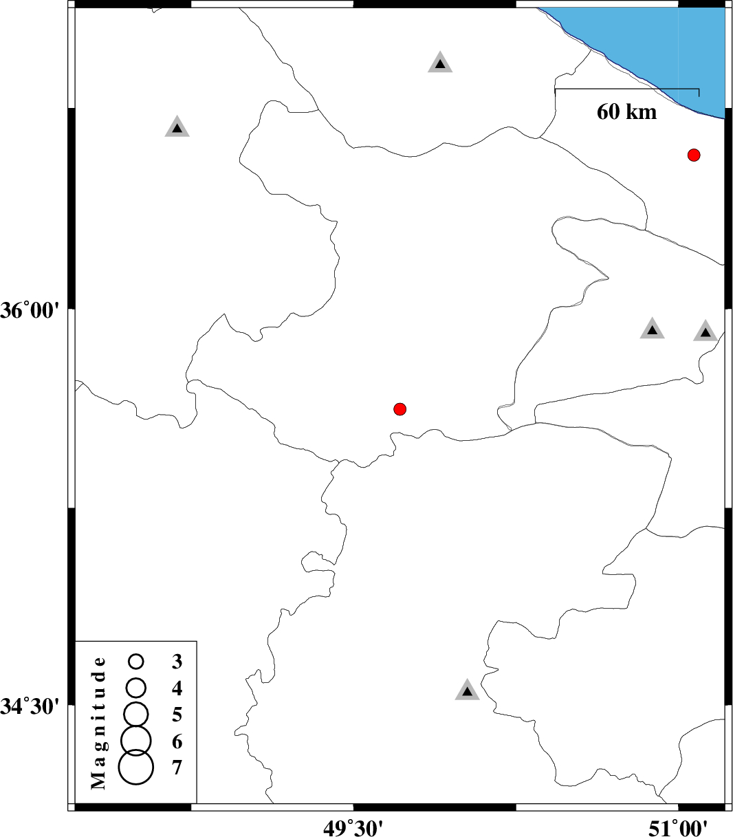
| 2018/12/31 | 09:05:45.8 | 12:35:45.8 | 35.622 | 49.714 | 14 | ML:2.5 | Ghazvin Province, 49 km South of Takestan | ||
| 2018/12/28 | 21:31:46.4 | 01:01:46.4 | 36.575 | 51.072 | 15 | ML:2.5 | Mazandaran Province, 31 km South-East of Tonekabon |