
Magnitude |
2.8 |
| Date & Time (UTC) | 2009-04-24 08:56:35.3 |
| Date & Time (Local) | 1388/2/4 13:26:35.3 |
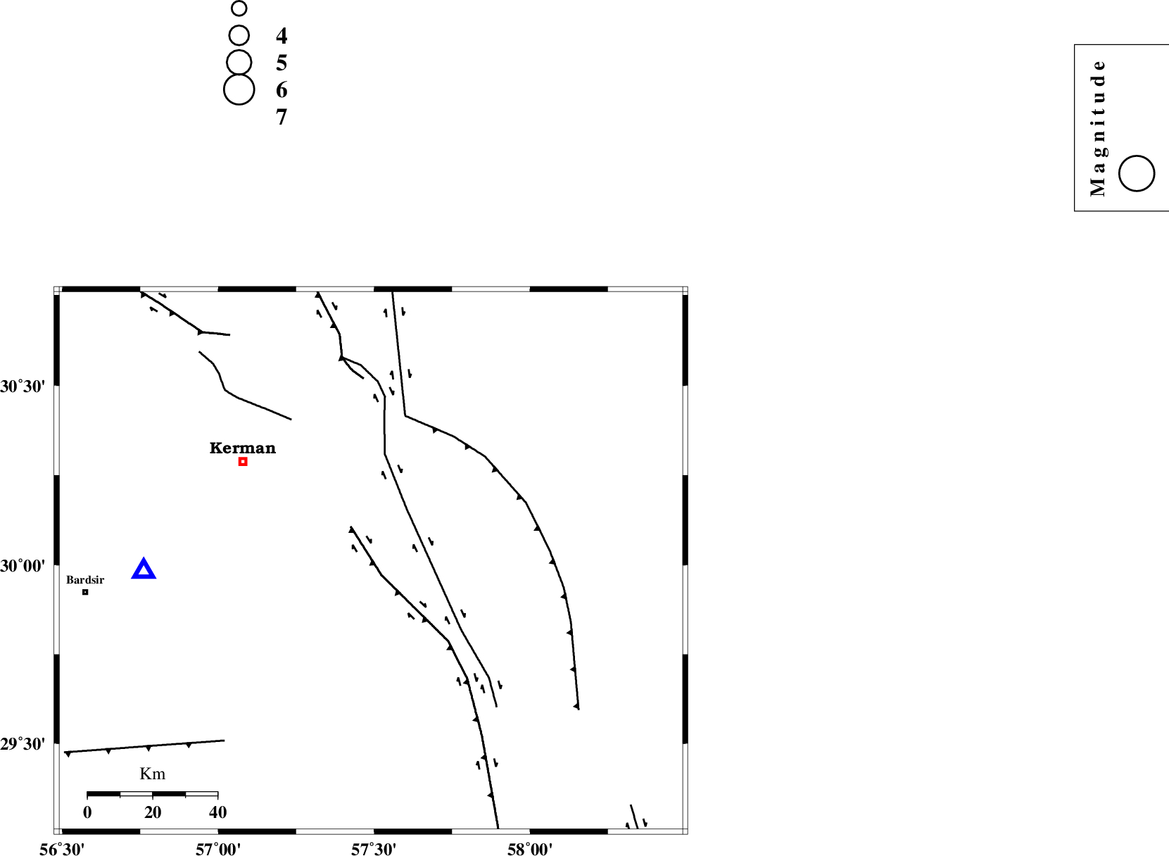
| Location | Lat:30.01 Lon: 57.49 |
| Region | 50 km South-East of Kerman, Kerman Province |
Nearest Cities |
|
| 17 km West of Jushan, Kerman Province | |
| 20 km East of Mahan, Kerman Province | |
| 21 km East of Langar, Kerman Province | |
| 22 km South of Sirch, Kerman Province | |
| 26 km East of Mohiabad, Kerman Province | |
| Depth | 8 km |
| Agency | |
Faults within 150 km: |
|
| GOWK_F (Length: 152 km) , Distance to epicenter: 5 km | |
| GOLBAF_SIRCH_F (Length: 114 km) , Distance to epicenter: 20 km | |
| NAYBAND_F (Length: 258 km) , Distance to epicenter: 46 km | |
| Number of Phases | 5 |
| RMS | 0.1 |
| Number of Stations | 4 |
| Error in Latitude | >2.6 km |
| Error in Longitude | 3.1 km |
| Error in Depth | 6.4 km |
Download waveform in seisan format
to download seisan software Click here
to access information about IIEES stations Click here
Amplitude | ||||||||
| UID | Agency | Station | Component | Amplitude | Period | Arrival Time | Proccessing Time | Signal Clip |
| 52527 | IIEES | BNDS | N | 30.7 | 0.54 | 2009-04-24 08:58:13 | 2009-07-13 01:52:00 | n |
| 52528 | IIEES | ZHSF | N | 35.7 | 1.1 | 2009-04-24 08:58:02 | 2009-07-13 01:52:00 | n |
Phase | ||||||||||||
| Agency | Station | Component | Phase Type | Phase Quality | First Motion | Observed Arrival Time | Time Residual | Loc. Flag | Input Weight | Distance | Azimuth | |
| IIEES | KRBR | Z | Pg | E | 2009-04-24 08:56:47 | 0.1 | y | 70.3 | 268 | |||
| IIEES | KRBR | E | Sg | E | 2009-04-24 08:56:56 | -0.1 | y | 70.3 | 268 | |||
| IIEES | BNDS | Z | Pn | E | 2009-04-24 08:57:23 | 0.1 | y | 316 | 204 | |||
| IIEES | ZHSF | Z | Pn | E | 2009-04-24 08:57:23 | -0.1 | y | 321 | 97 | |||
| IIEES | TABS | Z | P | E | 2009-04-24 08:57:34 | 0 | y | 405 | 355 | |||