
| Prel. Rep. | Date | Time(UTC) | Time(Local) | Lat. | Lon. | Depth | Mag. | Region | Waveform |
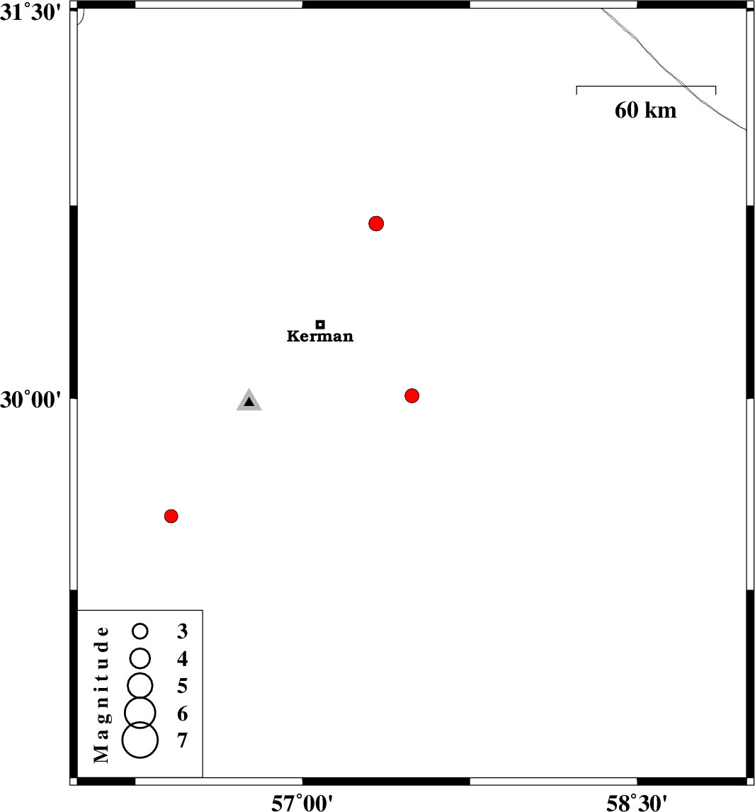
| 2009/04/24 | 08:56:35.3 | 13:26:35.3 | 30.01 | 57.49 | 8 | ML:2.8 | 50 km South-East of Kerman, Kerman Province | ||
| 2009/04/04 | 22:34:26.3 | 03:04:26.3 | 30.68 | 57.33 | 18 | ML:2.9 | 49 km North-East of Kerman, Kerman Province | ||
| 2009/03/27 | 19:33:17.0 | 00:03:17.0 | 29.54 | 56.41 | 15 | ML:2.7 | 38 km North-West of Baft, Kerman Province |