
Magnitude |
2.5 |
| Date & Time (UTC) | 2013-08-21 01:26:40.3 |
| Date & Time (Local) | 1392/5/30 05:56:40.3 |
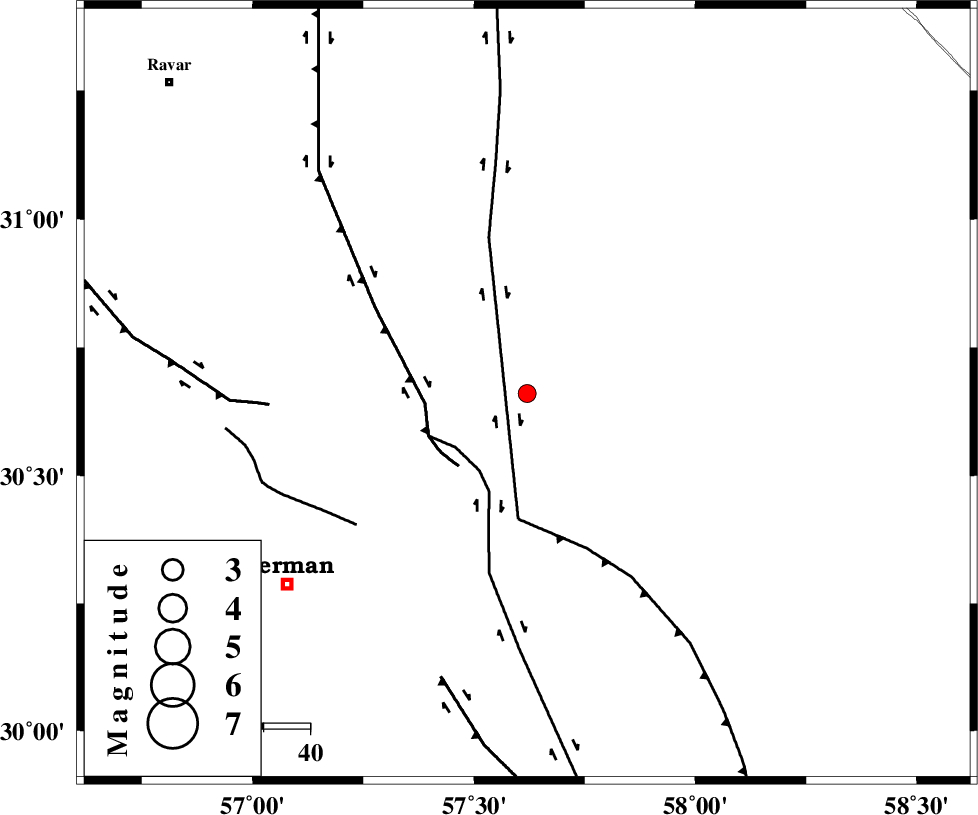
| Location | Lat:30.66 Lon: 57.62 |
| Region | Kerman Province, 66 km North-East of Kerman |
Nearest Cities |
|
| 29 km North of Shahdad, Kerman Province | |
| 34 km North West of Estehkam, Kerman Province | |
| 37 km North East of Dehlulu, Kerman Province | |
| 46 km North East of Harjand, Kerman Province | |
| 52 km North of Sirch, Kerman Province | |
| Depth | 14 km |
| Agency | |
Faults within 150 km: |
|
| GOLBAF_SIRCH_F (Length: 114 km) , Distance to epicenter: 19 km | |
| LAKARKUH_F (Length: 138 km) , Distance to epicenter: 22 km | |
| SHAHDAD_F (Length: 108 km) , Distance to epicenter: 27 km | |
| Number of Phases | 4 |
| RMS | 0 |
| Number of Stations | 3 |
| Error in Latitude | >3.9 km |
| Error in Longitude | 4.2 km |
| Error in Depth | 4.2 km |
Download waveform in seisan format
to download seisan software Click here
to access information about IIEES stations Click here
Amplitude | ||||||||
| UID | Agency | Station | Component | Amplitude | Period | Arrival Time | Proccessing Time | Signal Clip |
| 90304 | IIEES | BSRN | N | 53.5 | 0.24 | 2013-08-21 01:27:39 | 2013-08-21 03:17:00 | n |
| 90305 | IIEES | BSRN | E | 35.3 | 0.24 | 2013-08-21 01:27:39 | 2013-08-21 03:17:00 | n |
Phase | ||||||||||||
| Agency | Station | Component | Phase Type | Phase Quality | First Motion | Observed Arrival Time | Time Residual | Loc. Flag | Input Weight | Distance | Azimuth | |
| IIEES | KRBR | Z | Pg | E | 2013-08-21 01:26:59 | -0.01 | y | 112 | 228 | |||
| IIEES | BSRN | Z | Pn | E | 2013-08-21 01:27:13 | 0.04 | y | 204 | 44 | |||
| IIEES | BSRN | E | Sg | E | 2013-08-21 01:27:38 | -0.03 | y | 204 | 44 | |||
| IIEES | TABS | Z | Pn | E | 2013-08-21 01:27:29 | 0 | y | 335 | 352 | |||