Home / Recent Earthquakes

| Prel. Rep. | Date | Time(UTC) | Time(Local) | Lat. | Lon. | Depth | Mag. | Region | Waveform |
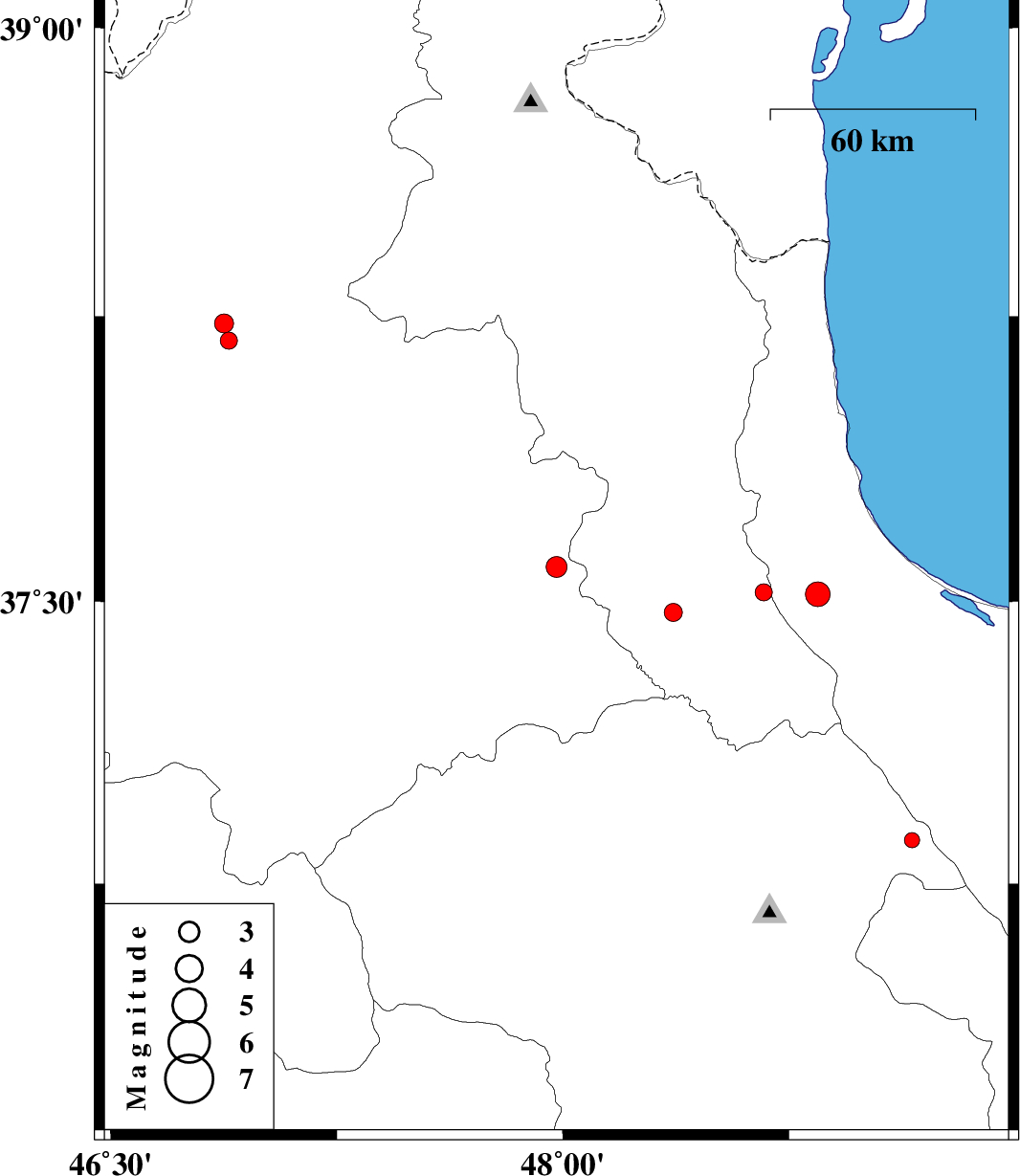
| 2015/09/06 | 04:26:47.6 | 08:56:47.6 | 37.59 | 47.979 | 14 | ML:3.1 | Azarbaijan Sharghi Province, 29 km North-East of Mianeh | ||
| 2015/08/29 | 21:25:16.5 | 01:55:16.5 | 38.185 | 46.891 | 14 | ML:2.5 | Azarbaijan Sharghi Province, 21 km -West of Haris | ||
| 2015/08/23 | 20:54:27.0 | 01:24:27.0 | 37.519 | 48.846 | 15 | ML:3.7 | Gilan Province, 27 km -West of Rezvanshahr | ||
| 2015/08/19 | 23:38:59.3 | 04:08:59.3 | 37.47 | 48.366 | 14 | ML:2.7 | Ardebil Province, 25 km South of Givi | ||
| 2015/08/15 | 23:09:34.6 | 03:39:34.6 | 37.523 | 48.667 | 27 | ML:2.5 | Ardebil Province, 17 km South-East of Khalkhal | ||
| 2015/08/11 | 11:37:46.2 | 16:07:46.2 | 38.231 | 46.876 | 18 | ML:2.8 | Azarbaijan Sharghi Province, 21 km -West of Haris | ||
| 2015/08/09 | 16:03:03.4 | 20:33:03.4 | 36.866 | 49.158 | 37 | ML:2.2 | Zanjan Province, 18 km -East of Abbar |