Home / Recent Earthquakes

| Prel. Rep. | Date | Time(UTC) | Time(Local) | Lat. | Lon. | Depth | Mag. | Region | Waveform |
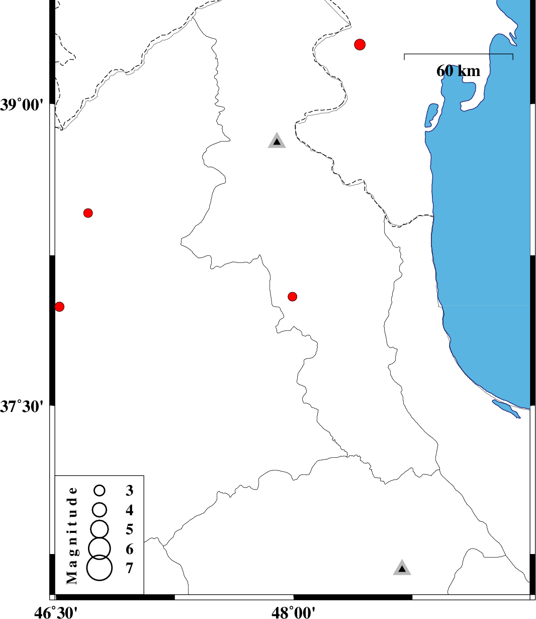
| 2016/02/15 | 14:23:01.8 | 17:53:01.8 | 38.044 | 47.992 | 16 | ML:2.6 | Ardebil Province, 12 km -West of Nir | ||
| 2016/02/15 | 07:01:04.0 | 10:31:04.0 | 39.29 | 48.417 | 8 | ML:3.1 | , 14 km of Bileh Savar | ||
| 2016/02/03 | 02:44:41.3 | 06:14:41.3 | 38.46 | 46.702 | 14 | ML:2.6 | Azarbaijan Sharghi Province, 33 km -West of Ahar | ||
| 2016/01/27 | 20:31:59.2 | 00:01:59.2 | 37.994 | 46.521 | 14 | ML:2.7 | Azarbaijan Sharghi Province, 22 km -East of Tabriz |