Home / Recent Earthquakes

| Prel. Rep. | Date | Time(UTC) | Time(Local) | Lat. | Lon. | Depth | Mag. | Region | Waveform |
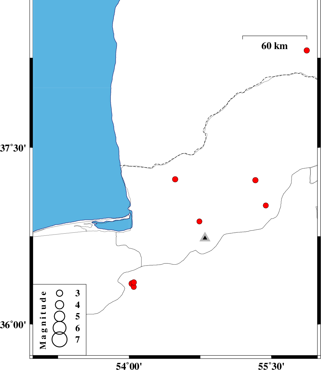
| 2016/10/18 | 01:50:15.0 | 05:20:15.0 | 37.233 | 54.485 | 14 | ML:2.7 | Golestan Province, 25 km North of Aq Qaleh | ||
| 2016/10/08 | 12:09:10.8 | 15:39:10.8 | 37.225 | 55.331 | 15 | ML:2.7 | Golestan Province, 5 km of Minodasht | ||
| 2016/10/04 | 04:38:38.2 | 08:08:38.2 | 36.877 | 54.74 | 18 | ML:2.5 | Golestan Province, 12 km -West of Ali Abad | ||
| 2016/10/03 | 21:50:44.5 | 01:20:44.5 | 37.011 | 55.441 | 14 | ML:2.6 | Golestan Province, 25 km South of Minodasht | ||
| 2016/09/23 | 08:28:14.7 | 11:58:14.7 | 38.311 | 55.872 | 18 | ML:2.7 | Turkmenistan | ||
| 2016/09/20 | 03:39:12.2 | 08:09:12.2 | 36.358 | 54.049 | 16 | ML:2.7 | Semnan Province, 34 km North-West of Damghan | ||
| 2016/09/19 | 08:38:17.9 | 13:08:17.9 | 36.32 | 54.048 | 16 | ML:2.6 | Semnan Province, 32 km North-West of Damghan | ||
| 2016/09/19 | 08:14:42.1 | 12:44:42.1 | 36.348 | 54.03 | 15 | ML:2.9 | Semnan Province, 35 km North-West of Damghan |