Home / Recent Earthquakes

| Prel. Rep. | Date | Time(UTC) | Time(Local) | Lat. | Lon. | Depth | Mag. | Region | Waveform |
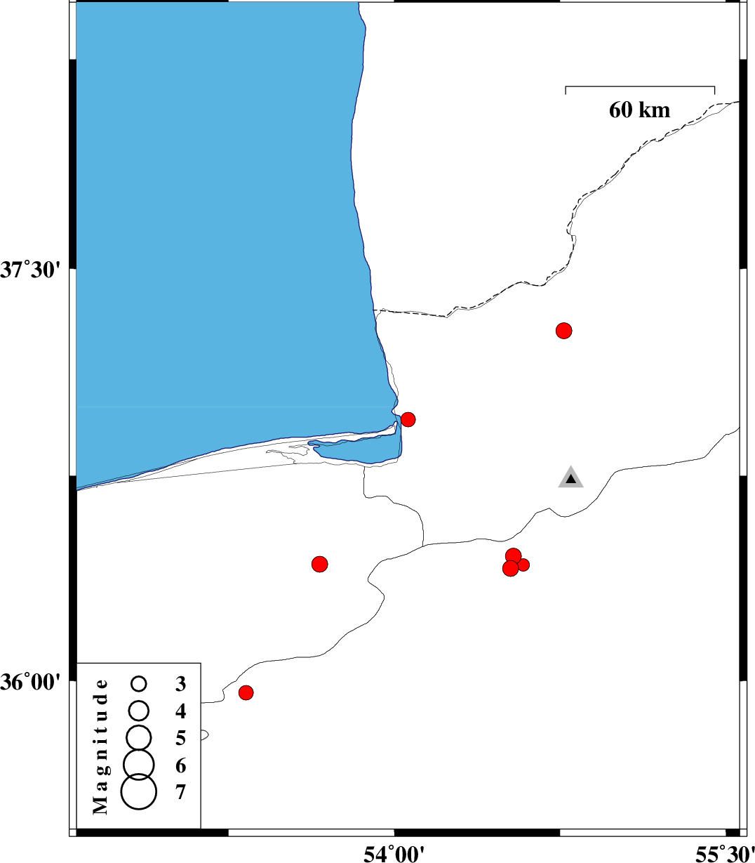
| 2017/01/11 | 11:25:18.0 | 14:55:18.0 | 36.954 | 54.062 | 14 | ML:2.9 | Golestan Province, 6 km of Bandar-e torkaman | ||
| 2017/01/07 | 12:27:22.8 | 15:57:22.8 | 35.957 | 53.329 | 14 | ML:3 | Semnan Province, 30 km South-East of Pol-E-Sefid | ||
| 2017/01/03 | 04:48:00.1 | 08:18:00.1 | 36.427 | 53.662 | 15 | ML:3.3 | Mazandaran Province, 32 km South-East of Behshahr | ||
| 2016/12/31 | 04:59:55.0 | 08:29:55.0 | 36.412 | 54.526 | 15 | ML:3.2 | Semnan Province, 32 km North-East of Damghan | ||
| 2016/12/25 | 09:38:52.7 | 13:08:52.7 | 37.276 | 54.767 | 18 | ML:3.2 | Golestan Province, 34 km -West of Gonbad-e kavus | ||
| 2016/12/23 | 22:59:07.2 | 02:29:07.2 | 36.457 | 54.539 | 14 | ML:3.2 | Semnan Province, 39 km -West of Shahrud | ||
| 2016/12/23 | 22:31:27.3 | 02:01:27.3 | 36.425 | 54.583 | 15 | ML:2.5 | Semnan Province, 34 km -West of Shahrud |