Home / Recent Earthquakes

| Prel. Rep. | Date | Time(UTC) | Time(Local) | Lat. | Lon. | Depth | Mag. | Region | Waveform |
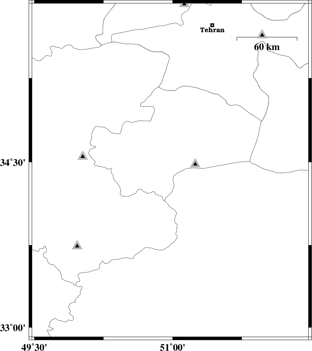
| 2017/11/29 | 01:06:17.1 | 04:36:17.1 | 34.414 | 50.974 | 18 | ML:2.3 | Qom Province, 28 km South-East of Qom | ||
| 2017/11/29 | 00:51:33.7 | 04:21:33.7 | 34.409 | 51.018 | 18 | ML:2.5 | Qom Province, 30 km South-East of Qom | ||
| 2017/11/28 | 07:40:18.2 | 11:10:18.2 | 35.742 | 50.958 | 15 | ML:2.3 | Tehran Province, 7 km of Karaj | ||
| 2017/11/23 | 14:08:14.2 | 17:38:14.2 | 34.414 | 51.026 | 16 | ML:2.5 | Qom Province, 30 km South-East of Qom | ||
| 2017/11/07 | 21:36:45.1 | 01:06:45.1 | 35.809 | 51.868 | 7 | ML:2 | Tehran Province, 21 km -West of Damavand |