Home / Recent Earthquakes

| Prel. Rep. | Date | Time(UTC) | Time(Local) | Lat. | Lon. | Depth | Mag. | Region | Waveform |
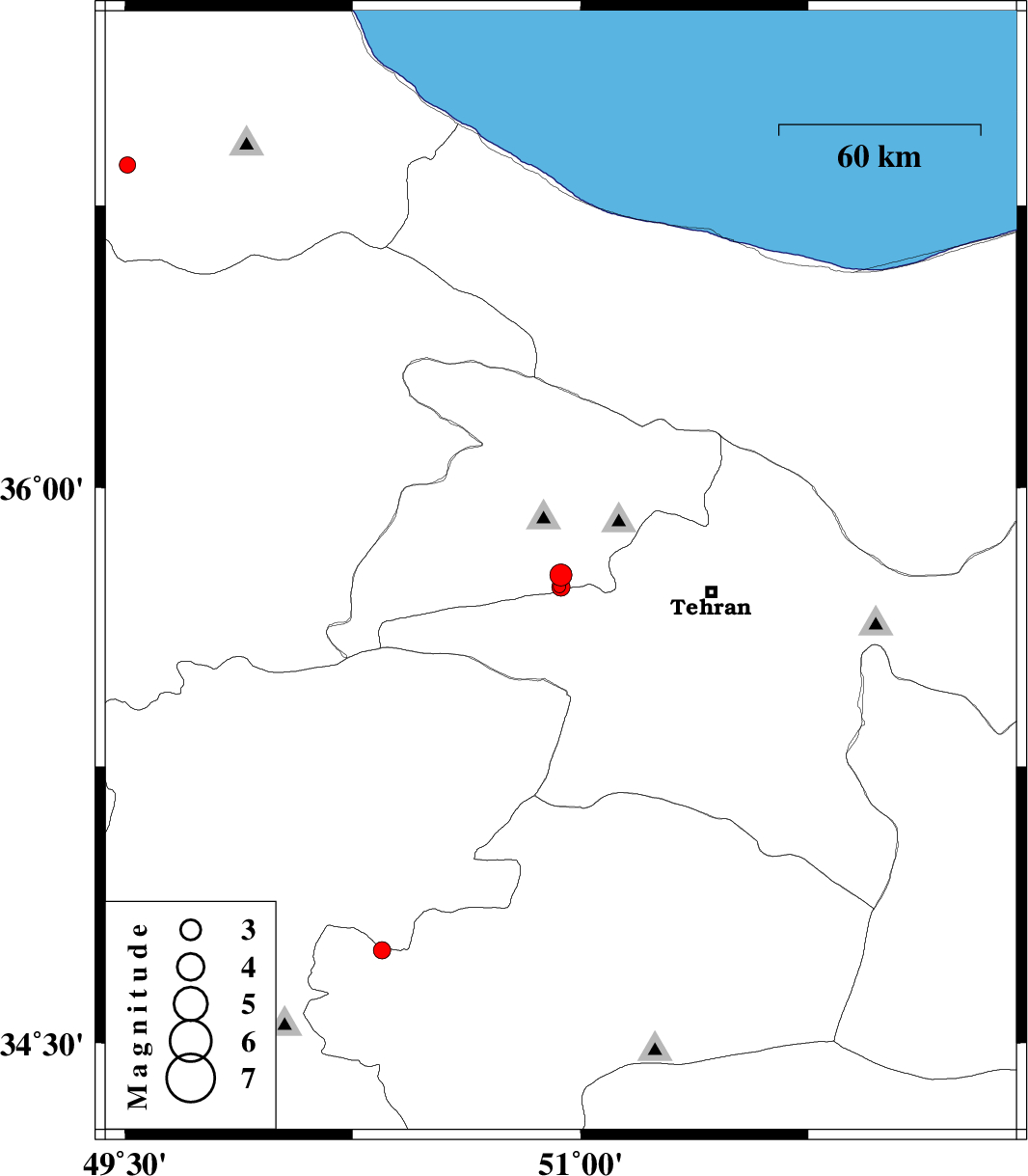
| 2017/12/09 | 13:03:50.5 | 16:33:50.5 | 35.765 | 50.935 | 17 | ML:3.2 | Tehran Province, 5 km of Karaj | ||
| 2017/12/09 | 11:58:37.0 | 15:28:37.0 | 34.752 | 50.347 | 15 | ML:2.6 | Qom Province, 30 km South of Saveh | ||
| 2017/12/04 | 07:32:07.5 | 11:02:07.5 | 36.858 | 49.508 | 15 | ML:2.4 | Gilan Province, 8 km of Rudbar | ||
| 2017/12/03 | 21:40:20.8 | 01:10:20.8 | 35.735 | 50.93 | 14 | ML:1.9 | Tehran Province, 8 km of Karaj | ||
| 2017/12/02 | 23:41:06.6 | 03:11:06.6 | 35.733 | 50.935 | 15 | ML:2.7 | Tehran Province, 8 km of Karaj |