Home / Recent Earthquakes

| Prel. Rep. | Date | Time(UTC) | Time(Local) | Lat. | Lon. | Depth | Mag. | Region | Waveform |
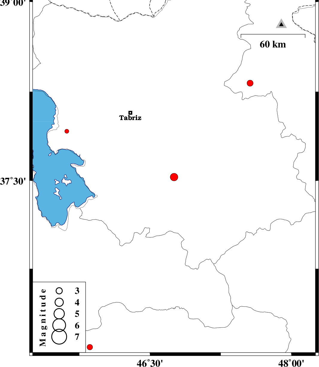
| 2018/03/06 | 06:40:02.2 | 10:10:02.2 | 37.53 | 46.755 | 15 | ML:3.7 | Azarbaijan Sharghi Province, 28 km -West of Hashtrud | ||
| 2018/03/01 | 21:34:00.3 | 01:04:00.3 | 36.076 | 45.862 | 16 | ML:2.7 | Kurdistan Province, 10 km of Baneh | ||
| 2018/02/18 | 22:49:11.2 | 02:19:11.2 | 38.321 | 47.562 | 14 | ML:2.9 | Ardebil Province, 13 km -West of Meshgin Shahr | ||
| 2018/02/04 | 01:48:50.4 | 05:18:50.4 | 37.917 | 45.617 | 14 | ML:2 | Azarbaijan Sharghi Province, 30 km South of Shabestar |