
| Prel. Rep. | Date | Time(UTC) | Time(Local) | Lat. | Lon. | Depth | Mag. | Region | Waveform |
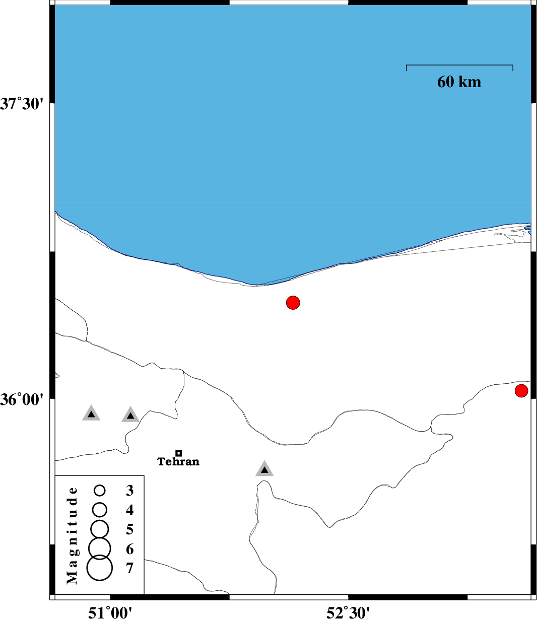
| 2020/07/03 | 20:13:03.6 | 00:43:03.6 | 36.49 | 52.15 | 13 | ML:3.8 | Mazandaran Province, 14 km -East of Nur | ||
| 2020/06/26 | 23:57:50.9 | 04:27:50.9 | 36.04 | 53.59 | 10 | ML:3.6 | Semnan Province, 49 km -East of Pol-E-Sefid |

 IIEES All Rights Reserved