
| Prel. Rep. | Date | Time(UTC) | Time(Local) | Lat. | Lon. | Depth | Mag. | Region | Waveform |
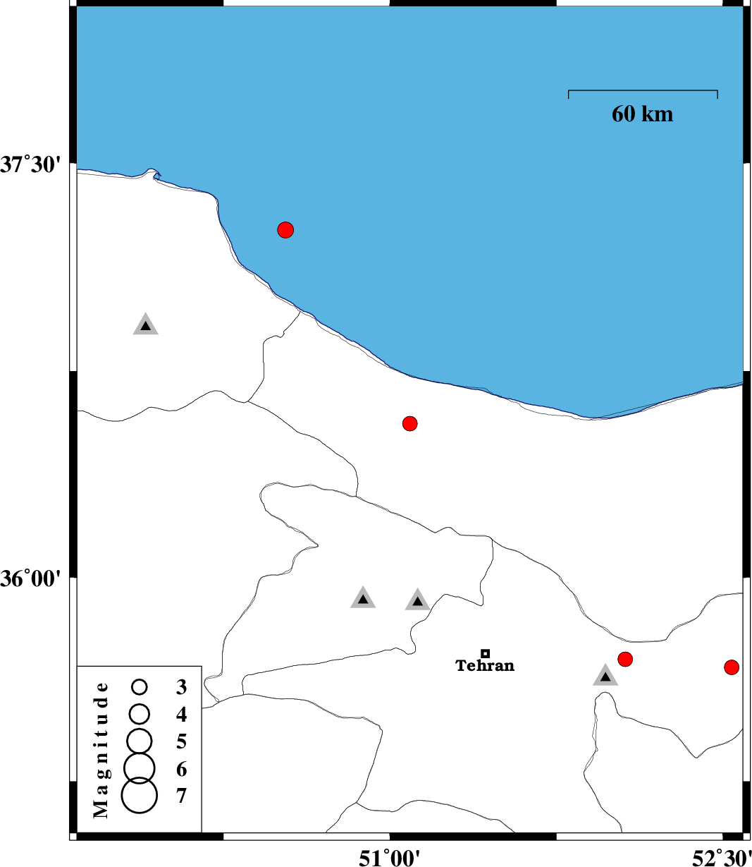
| 2020/09/30 | 04:11:30.7 | 07:41:30.7 | 36.56 | 51.09 | 10 | ML:3 | Mazandaran Province, 31 km -West of Chalus | ||
| 2020/09/12 | 00:45:47.5 | 05:15:47.5 | 37.26 | 50.53 | 10 | ML:3.2 | Caspian Sea, 25 km North-East of Rudsar | ||
| 2020/09/09 | 17:47:53.7 | 22:17:53.7 | 35.7 | 52.06 | 10 | ML:3 | Tehran Province, 2 km of Damavand | ||
| 2020/09/08 | 07:14:30.5 | 11:44:30.5 | 35.67 | 52.54 | 10 | ML:2.9 | Tehran Province, 22 km -West of Firuzkuh |

 IIEES All Rights Reserved