
| Prel. Rep. | Date | Time(UTC) | Time(Local) | Lat. | Lon. | Depth | Mag. | Region | Waveform |
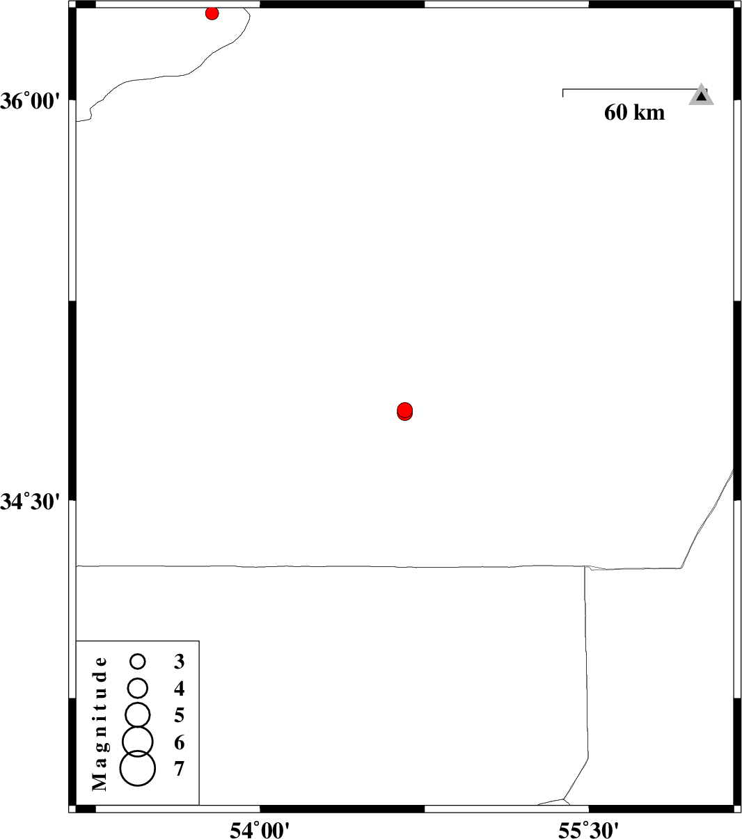
| 2007/08/30 | 22:04:09.2 | 01:34:09.2 | 34.84 | 54.66 | 18 | ML:3.1 | 139 km South-East of Semnan, Semnan Province | ||
| 2007/08/27 | 02:50:31.4 | 06:20:31.4 | 36.32 | 53.78 | 14 | ML:2.7 | 46 km South-East of Behshahr, Mazandaran Province | ||
| 2007/08/16 | 23:41:09.7 | 03:11:09.7 | 34.83 | 54.66 | 18 | ML:3.1 | 140 km South-East of Semnan, Semnan Province |