| Prel. Rep. | Date | Time(UTC) | Time(Local) | Lat. | Lon. | Depth | Mag. | Region | Waveform |
|
|
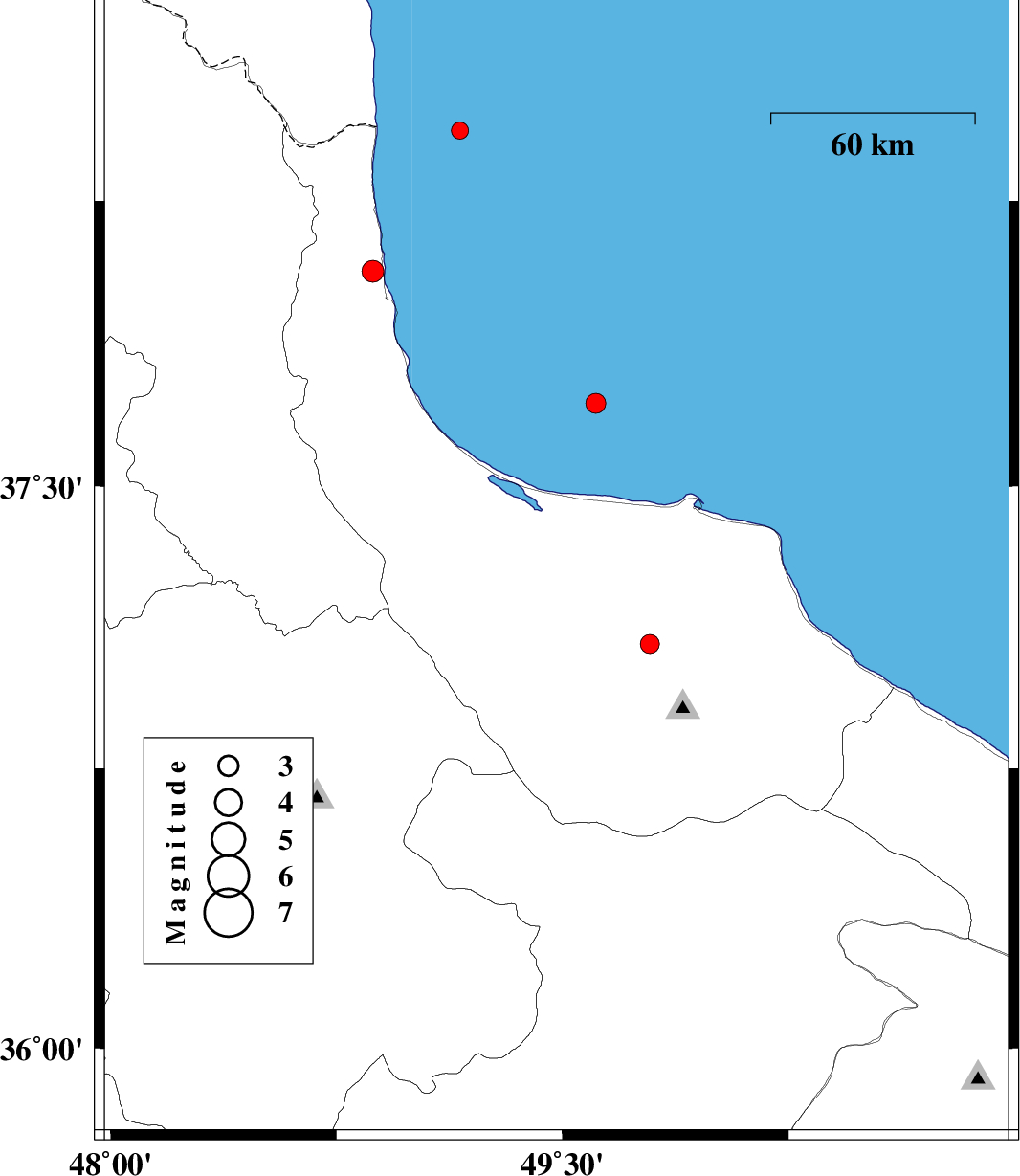
2007/12/02
|
19:07:15.6
|
22:37:15.6
| 37.28 | 49.48 | 15 |
ML:3
|
9 km West of Rasht, Gilan Province | |
|
|
2007/11/18
|
21:42:49.5
|
01:12:49.5
| 38.37 | 48.05 | 36 |
ML:3.3
|
25 km North-West of Ardabil, Ardebil Province | |
|
|
2007/11/10
|
12:53:51.3
|
16:23:51.3
| 36.64 | 49.66 | 14 |
ML:2.8
|
29 km South-East of Rudbar, Gilan Province | |
|
|
2007/11/10
|
01:59:17.7
|
05:29:17.7
| 37.63 | 48.74 | 36 |
ML:3.3
|
18 km East of Khalkhal, Ardebil Province | |
|
|
2007/11/08
|
02:43:16.6
|
06:13:16.6
| 38.54 | 48.5 | 14 |
ML:3.2
|
11 km Namin, Ardebil Province | |
|
|
2007/11/05
|
22:14:41.3
|
01:44:41.3
| 38 | 49.03 | 18 |
ML:2.6
|
Caspian Sea, 24 km North-East of Hashtpar | |