| Prel. Rep. | Date | Time(UTC) | Time(Local) | Lat. | Lon. | Depth | Mag. | Region | Waveform |
|
|
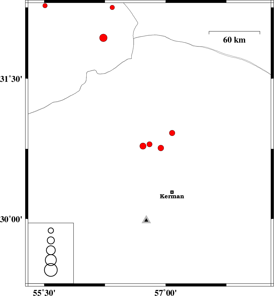
2009/01/10
|
22:47:14.3
|
02:17:14.3
| 30.8 | 56.8 | 14 |
ML:3
|
22 km East of Zarand, Kerman Province | |
|
|
2009/01/08
|
08:57:30.4
|
12:27:30.4
| 31.93 | 56.23 | 14 |
ML:4.2
|
86 km North-East of Bafq, Yazd Province | |
|
|
2009/01/01
|
09:51:40.1
|
13:21:40.1
| 30.76 | 56.94 | 14 |
ML:3.2
|
35 km East of Zarand, Kerman Province | |
|
|
2008/12/20
|
06:13:06.3
|
09:43:06.3
| 30.92 | 57.08 | 15 |
ML:3.1
|
45 km South-East of Ravar, Kerman Province | |
|
|
2008/12/20
|
01:49:55.7
|
05:19:55.7
| 32.25 | 56.34 | 16 |
ML:2.5
|
114 km North-East of Bafq, Yazd Province | |
|
|
2008/12/15
|
13:18:30.5
|
16:48:30.5
| 32.27 | 55.51 | 14 |
ML:2.5
|
74 km North-East of Bafq, Yazd Province | |
|
|
2008/12/12
|
04:00:48.8
|
07:30:48.8
| 30.78 | 56.72 | 14 |
ML:3.5
|
15 km East of Zarand, Kerman Province | |