
| Prel. Rep. | Date | Time(UTC) | Time(Local) | Lat. | Lon. | Depth | Mag. | Region | Waveform |
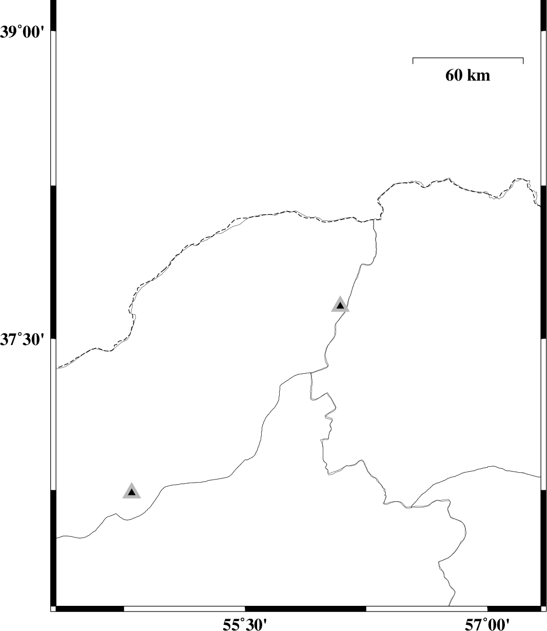
| 2009/07/09 | 04:19:17.4 | 08:49:17.4 | 37.67 | 55.83 | 8 | ML:2.7 | Golestan Province, 44 km North-East of Kalaleh | ||
| 2009/06/30 | 10:09:20.3 | 14:39:20.3 | 37.48 | 56.88 | 28 | ML:3.1 | 9 km Ashkhaneh, Khorasan(north) Province | ||
| 2009/06/22 | 17:07:17.3 | 21:37:17.3 | 36.41 | 54.61 | 26 | ML:2.5 | 32 km West of Shahrud, Semnan Province | ||
| 2009/06/18 | 14:23:51.5 | 18:53:51.5 | 36.99 | 55.29 | 15 | ML:3 | 12 km East of Ramian, Golestan Province |