
| Prel. Rep. | Date | Time(UTC) | Time(Local) | Lat. | Lon. | Depth | Mag. | Region | Waveform |
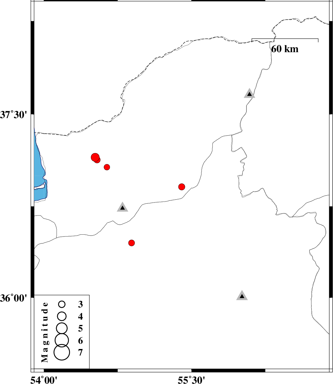
| 2009/12/08 | 17:26:29.8 | 20:56:29.8 | 36.91 | 55.4 | 46 | ML:2.9 | Golestan Province, 35 km South of Minodasht | ||
| 2009/12/03 | 20:32:58.4 | 00:02:58.4 | 37.07 | 54.64 | 14 | ML:2.7 | Golestan Province, 17 km East of Aq Qaleh | ||
| 2009/12/03 | 15:05:11.0 | 18:35:11.0 | 37.15 | 54.52 | 15 | ML:3.8 | Golestan Province, 16 km North of Aq Qaleh | ||
| 2009/12/02 | 19:00:34.8 | 22:30:34.8 | 36.45 | 54.89 | 16 | ML:2.8 | Semnan Province, 8 km Shahrud | ||
| 2009/11/18 | 17:57:14.2 | 21:27:14.2 | 37.13 | 54.54 | 15 | ML:3 | Golestan Province, 15 km North of Aq Qaleh |