| Prel. Rep. | Date | Time(UTC) | Time(Local) | Lat. | Lon. | Depth | Mag. | Region | Waveform |
|
|
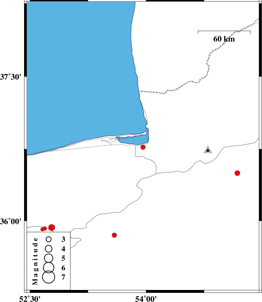
2010/04/05
|
17:27:24.3
|
21:57:24.3
| 36.77 | 53.96 | 17 |
ML:2.7
|
Golestan Province, 1 km Bandar-e gaz | |
|
|
2010/04/04
|
02:21:48.5
|
06:51:48.5
| 36.5 | 55.18 | 17 |
ML:2.9
|
Semnan Province, 21 km East of Shahrud | |
|
|
2010/03/30
|
02:14:20.5
|
06:44:20.5
| 35.92 | 52.69 | 21 |
ML:2.3
|
Tehran Province, 21 km North of Firuzkuh | |
|
|
2010/03/29
|
23:27:15.9
|
03:57:15.9
| 35.91 | 52.66 | 27 |
ML:2
|
Tehran Province, 20 km North-West of Firuzkuh | |
|
|
2010/03/29
|
22:34:10.8
|
03:04:10.8
| 35.93 | 52.78 | 14 |
ML:3.7
|
Mazandaran Province, 21 km North of Firuzkuh | |
|
|
2010/03/26
|
22:33:30.5
|
03:03:30.5
| 35.85 | 53.59 | 46 |
ML:2.7
|
Semnan Province, 36 km North-East of Semnan | |