
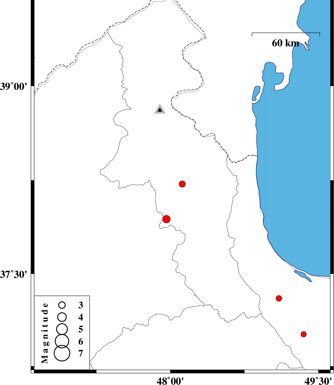
| Prel. Rep. | Date | Time(UTC) | Time(Local) | Lat. | Lon. | Depth | Mag. | Region | Waveform |
| 2011/08/16 | 18:27:11.5 | 22:57:11.5 | 38.22 | 48.12 | 47 | ML:2.9 | Ardebil Province, 17 km North of Nir | ||
| 2011/07/31 | 04:41:04.3 | 09:11:04.3 | 37.01 | 49.35 | 15 | ML:2.5 | Gilan Province, 18 km South of Shaft | ||
| 2011/07/24 | 02:33:23.5 | 07:03:23.5 | 37.94 | 47.96 | 15 | ML:3.5 | Ardebil Province, 21 km South-West of Nir | ||
| 2011/07/23 | 14:37:48.3 | 19:07:48.3 | 37.3 | 49.1 | 14 | ML:2.7 | Gilan Province, 14 km South of Masal |