| Prel. Rep. | Date | Time(UTC) | Time(Local) | Lat. | Lon. | Depth | Mag. | Region | Waveform |
|
|
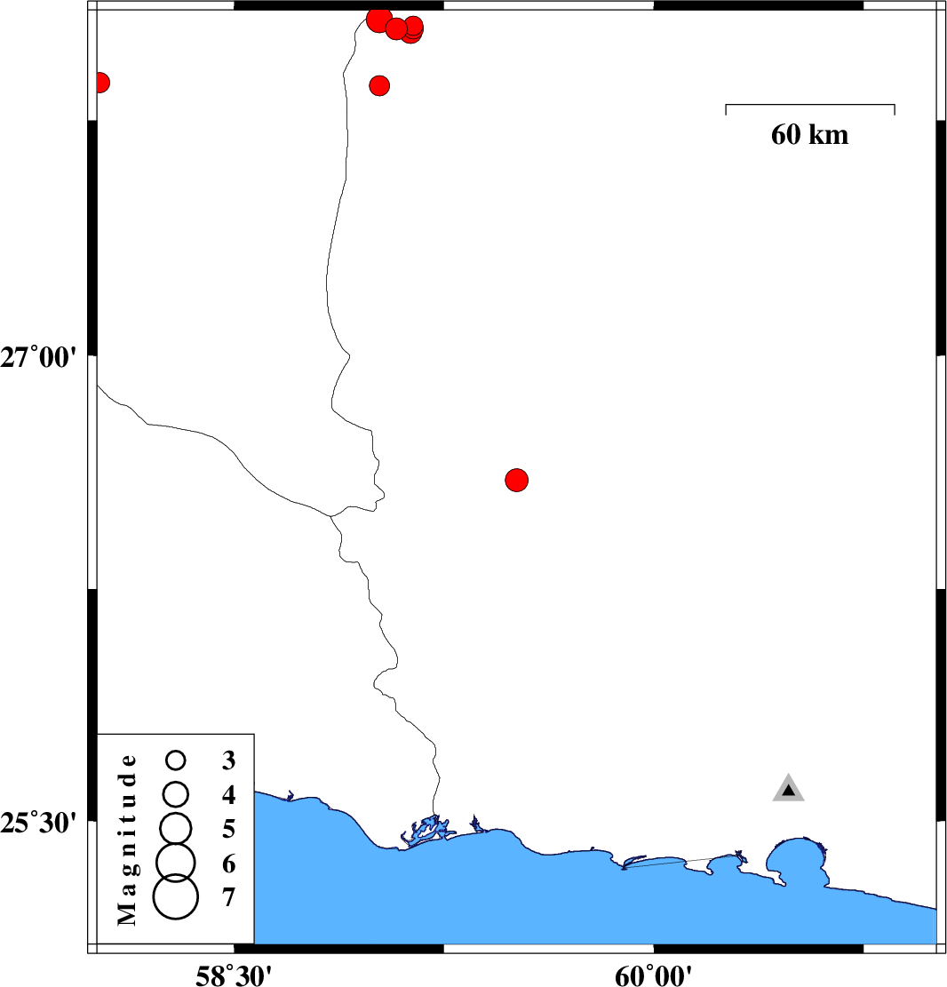
2012/03/25
|
07:49:57.4
|
12:19:57.4
| 26.6 | 59.51 | 14 |
ML:3.6
|
Sistan va Baloochestan Province, 81 km North-West of Nikshahr | |
|
|
2012/03/19
|
07:06:09.0
|
10:36:09.0
| 27.87 | 58.02 | 14 |
ML:3.2
|
Kerman Province, 34 km East of Kahnuj | |
|
|
2012/03/11
|
09:57:14.2
|
13:27:14.2
| 28.04 | 59.08 | 15 |
ML:3.5
|
Sistan va Baloochestan Province, 136 km East of Kahnuj | |
|
|
2012/03/11
|
06:03:17.5
|
09:33:17.5
| 27.86 | 59.02 | 15 |
ML:3.2
|
Sistan va Baloochestan Province, 131 km East of Kahnuj | |
|
|
2012/03/11
|
05:00:05.5
|
08:30:05.5
| 28.07 | 59.02 | 15 |
ML:4.2
|
Sistan va Baloochestan Province, 131 km North-East of Kahnuj | |
|
|
2012/03/10
|
22:59:24.5
|
02:29:24.5
| 28.05 | 59.14 | 15 |
ML:3.1
|
Sistan va Baloochestan Province, 143 km North-East of Kahnuj | |
|
|
2012/03/10
|
15:15:44.1
|
18:45:44.1
| 28.04 | 59.14 | 15 |
ML:3.2
|
Sistan va Baloochestan Province, 142 km East of Kahnuj | |
|
|
2012/03/10
|
14:13:30.2
|
17:43:30.2
| 28.03 | 59.13 | 15 |
ML:3.7
|
Sistan va Baloochestan Province, 142 km East of Kahnuj | |