Home / Recent Earthquakes

| Prel. Rep. | Date | Time(UTC) | Time(Local) | Lat. | Lon. | Depth | Mag. | Region | Waveform |
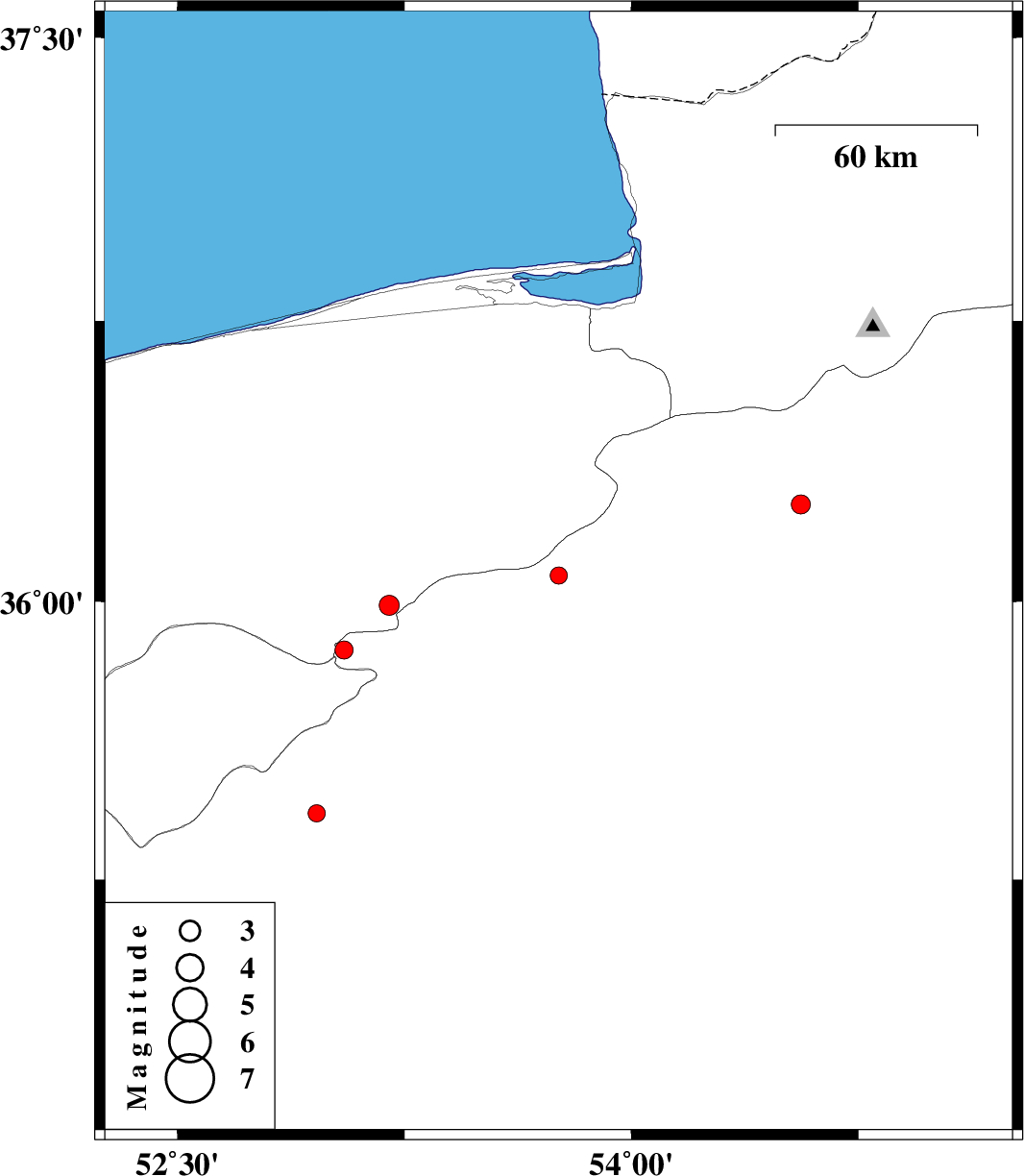
| 2013/03/12 | 16:41:25.9 | 20:11:25.9 | 36.07 | 53.76 | 14 | ML:2.6 | Semnan Province, 54 km West of Damghan | ||
| 2013/03/10 | 17:52:04.1 | 21:22:04.1 | 36.26 | 54.56 | 18 | ML:2.8 | Semnan Province, 21 km East of Damghan | ||
| 2013/03/10 | 17:49:55.3 | 21:19:55.3 | 35.87 | 53.05 | 17 | ML:2.7 | Semnan Province, 27 km South of Pol-E-Sefid | ||
| 2013/03/10 | 06:41:06.7 | 10:11:06.7 | 35.99 | 53.2 | 16 | ML:2.9 | Mazandaran Province, 19 km South-East of Pol-E-Sefid | ||
| 2013/03/08 | 16:09:30.6 | 19:39:30.6 | 35.43 | 52.96 | 40 | ML:2.6 | Semnan Province, 40 km South-East of Firuzkuh |