Home / Recent Earthquakes

| Prel. Rep. | Date | Time(UTC) | Time(Local) | Lat. | Lon. | Depth | Mag. | Region | Waveform |
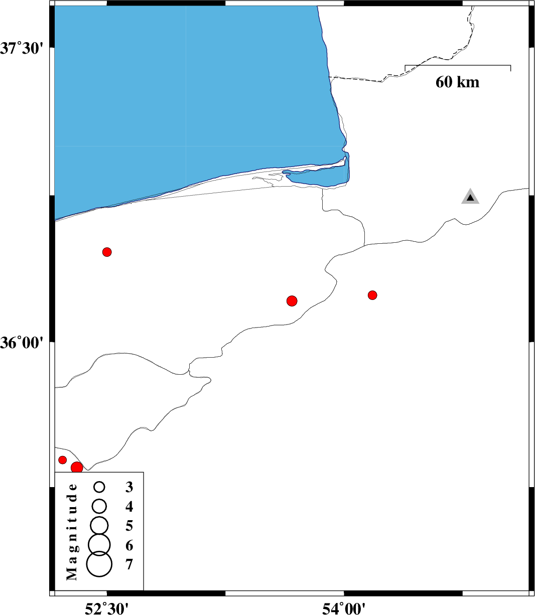
| 2013/03/20 | 18:09:53.4 | 21:39:53.4 | 36.21 | 53.67 | 15 | ML:3 | Mazandaran Province, 55 km South-East of Behshahr | ||
| 2013/03/16 | 11:59:11.0 | 15:29:11.0 | 36.46 | 52.5 | 14 | ML:2.5 | Mazandaran Province, 13 km East of Amol | ||
| 2013/03/16 | 07:33:33.0 | 11:03:33.0 | 35.35 | 52.31 | 6 | ML:3.4 | Semnan Province, 15 km North of Garmsar | ||
| 2013/03/15 | 13:07:11.2 | 16:37:11.2 | 35.39 | 52.22 | 16 | ML:2.3 | Semnan Province, 22 km North-West of Garmsar | ||
| 2013/03/15 | 02:03:12.0 | 05:33:12.0 | 36.24 | 54.18 | 31 | ML:2.6 | Semnan Province, 17 km West of Damghan |