Home / Recent Earthquakes

| Prel. Rep. | Date | Time(UTC) | Time(Local) | Lat. | Lon. | Depth | Mag. | Region | Waveform |
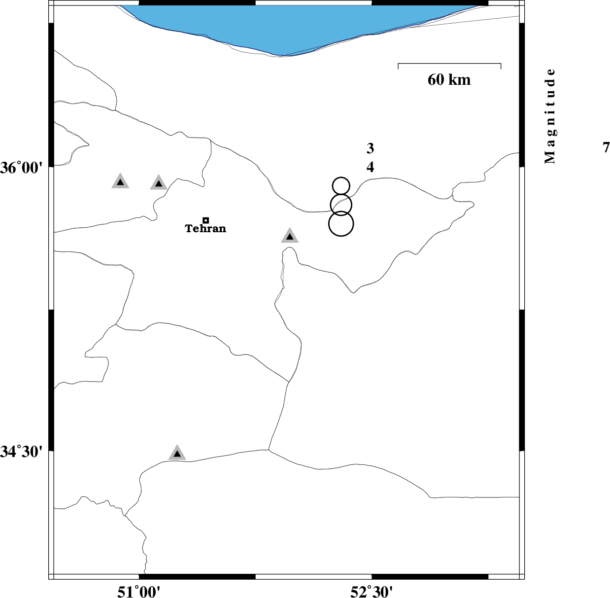
| 2013/05/18 | 15:26:56.8 | 19:56:56.8 | 35.35 | 51.94 | 14 | ML:2.8 | Semnan Province, 25 km East of Varamin | ||
| 2013/05/18 | 14:48:07.6 | 19:18:07.6 | 35.34 | 51.95 | 14 | ML:3.6 | Semnan Province, 26 km East of Varamin | ||
| 2013/05/16 | 23:29:51.3 | 03:59:51.3 | 35.96 | 53.22 | 14 | ML:2.8 | Mazandaran Province, 22 km South-East of Pol-E-Sefid | ||
| 2013/05/12 | 07:19:30.9 | 11:49:30.9 | 36.39 | 52.01 | 14 | ML:2.6 | Mazandaran Province, 20 km South of Nur |