
| Prel. Rep. | Date | Time(UTC) | Time(Local) | Lat. | Lon. | Depth | Mag. | Region | Waveform |
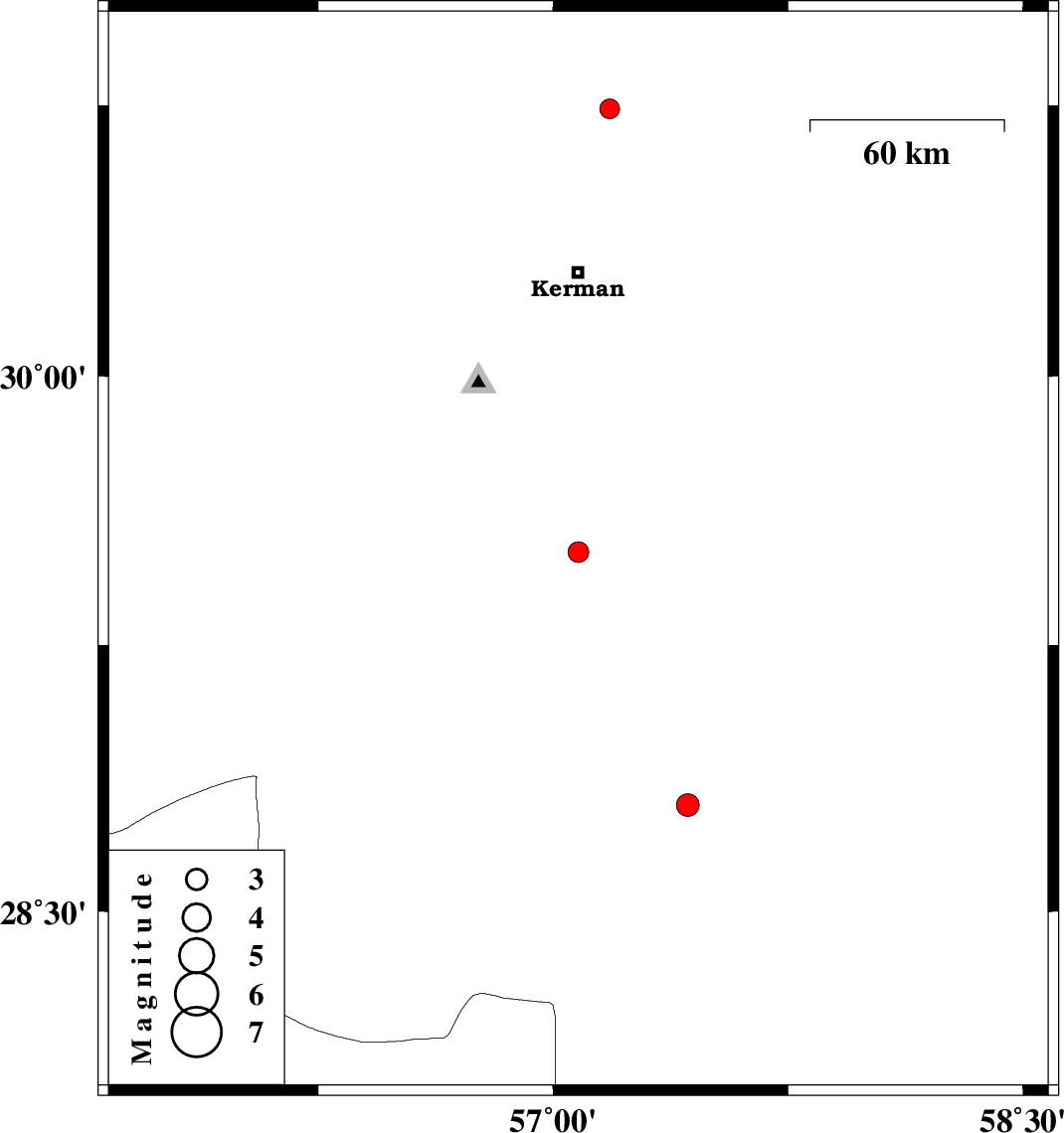
| 2013/10/01 | 17:16:42.8 | 20:46:42.8 | 29.51 | 57.08 | 14 | ML:3 | Kerman Province, 55 km North-East of Baft | ||
| 2013/09/24 | 16:12:32.7 | 19:42:32.7 | 30.74 | 57.18 | 15 | ML:2.8 | Kerman Province, 51 km North-East of Kerman | ||
| 2013/09/24 | 04:43:26.9 | 08:13:26.9 | 28.8 | 57.43 | 15 | ML:3.2 | Kerman Province, 34 km North-West of Jiroft |