Home / Recent Earthquakes

| Prel. Rep. | Date | Time(UTC) | Time(Local) | Lat. | Lon. | Depth | Mag. | Region | Waveform |
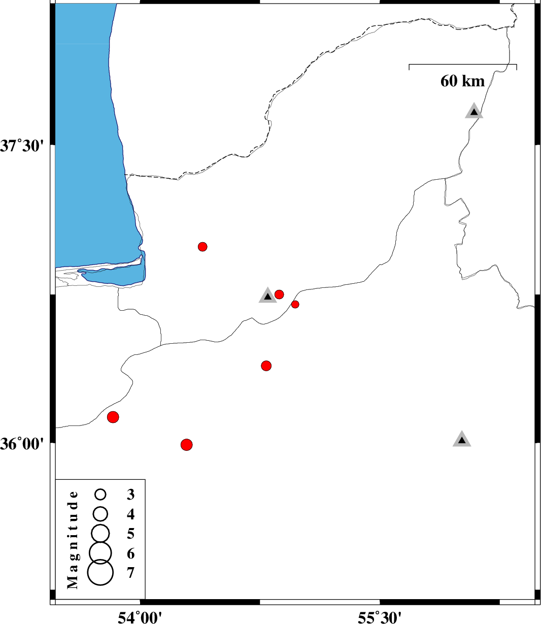
| 2014/05/25 | 21:40:04.8 | 02:10:04.8 | 36.7 | 54.97 | 14 | ML:2.1 | Semnan Province, 31 km North of Shahrud | ||
| 2014/05/18 | 23:21:02.8 | 03:51:02.8 | 36.75 | 54.87 | 18 | ML:2.6 | Golestan Province, 17 km South of Ali Abad | ||
| 2014/05/17 | 06:43:29.0 | 11:13:29.0 | 35.99 | 54.29 | 16 | ML:3.2 | Semnan Province, 20 km South of Damghan | ||
| 2014/05/05 | 23:50:07.0 | 04:20:07.0 | 36.99 | 54.39 | 38 | ML:2.6 | Golestan Province, 6 km Aq Qaleh | ||
| 2014/05/01 | 04:19:01.7 | 08:49:01.7 | 36.13 | 53.83 | 18 | ML:3.2 | Semnan Province, 47 km West of Damghan | ||
| 2014/04/25 | 16:26:56.3 | 20:56:56.3 | 36.39 | 54.79 | 14 | ML:2.8 | Semnan Province, 16 km West of Shahrud |